Talks
Correcting Biases in Mobile-Phone Mobility Data: The DEBIAS Framework
Vulnerability in Motion: Dynamic Exposure & Climate Displacement Across Scales
Making satellite imagery more useful - presentation from Data Service for Imagery (Imago)

GeoAI - Mapping social context for mental health

Geographic Data Science Lab research activity
A systematic machine learning approach to measure and assess biases in mobile phone population data
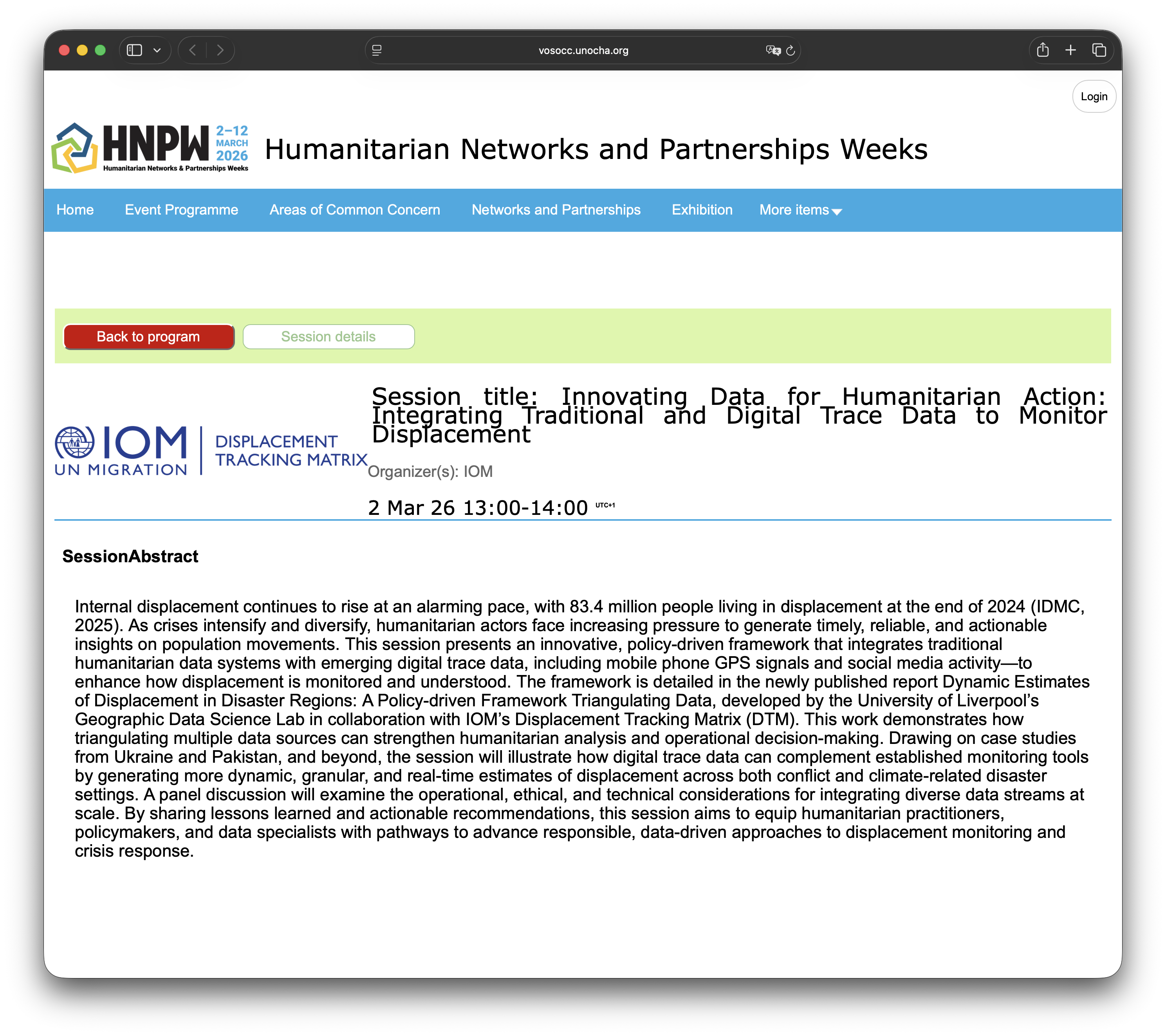
Incorporating Digital Trace Data into Movement Estimates for Crisis Response
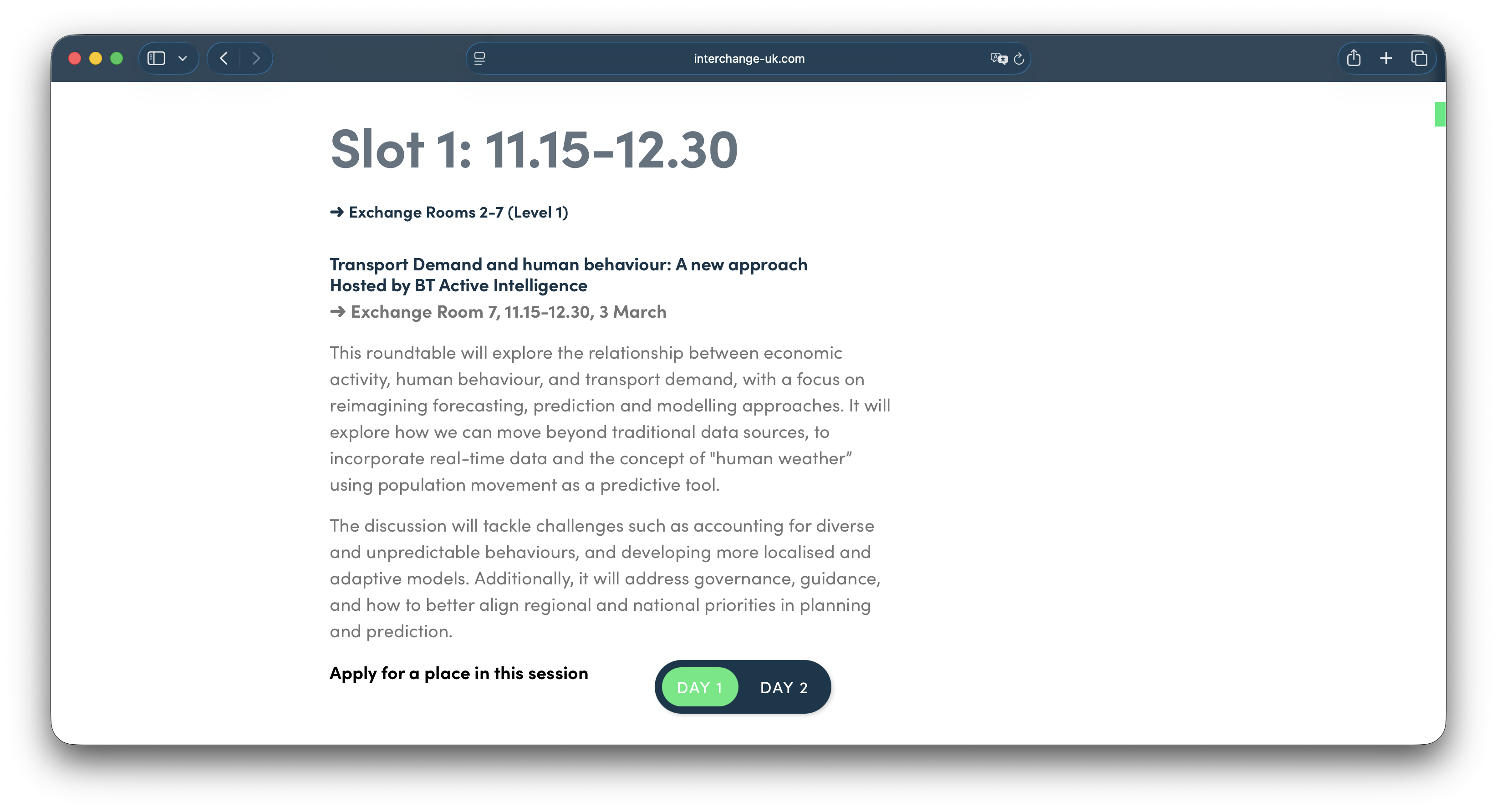
Transport Demand and human behaviour: A new approach
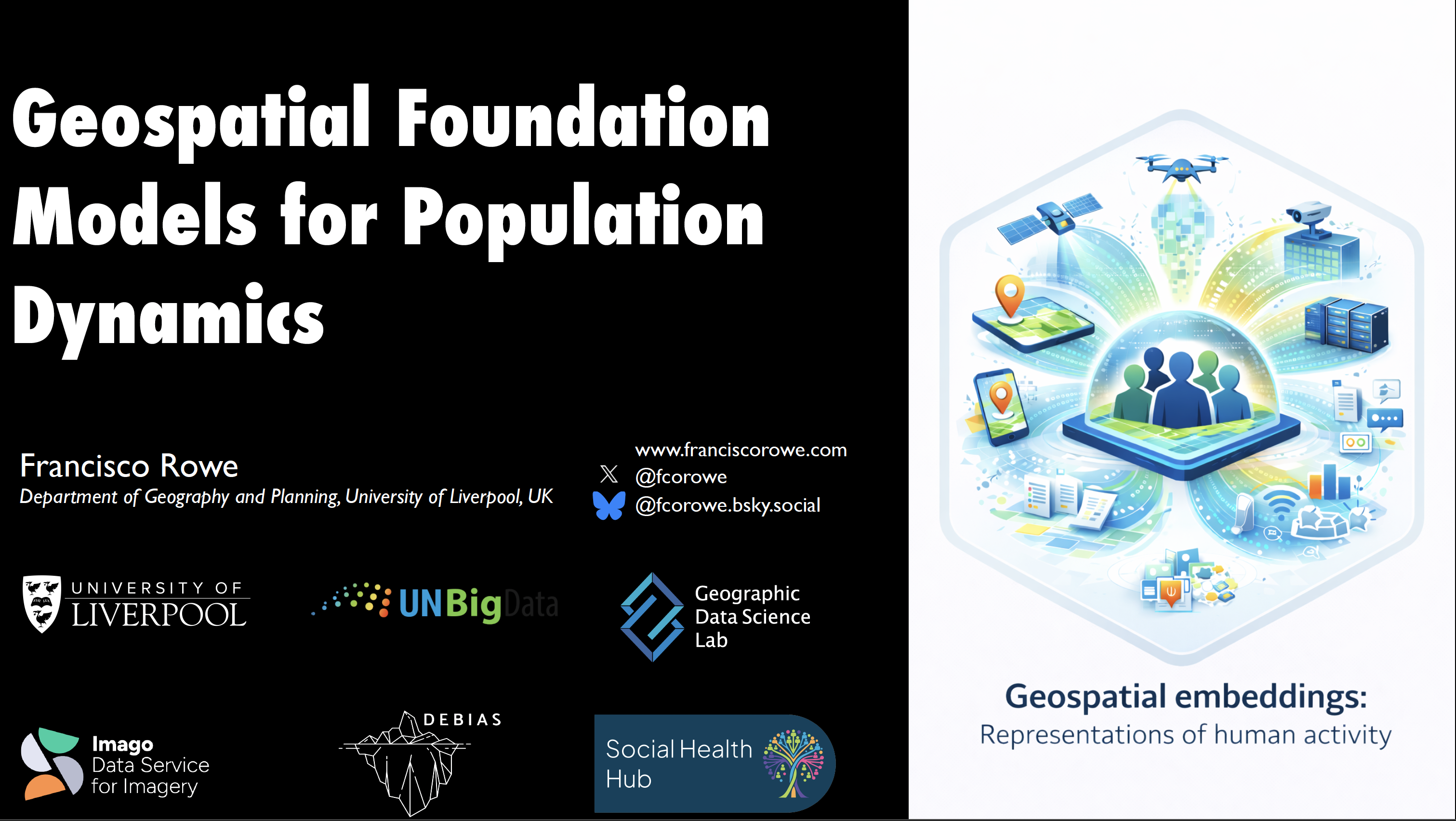
Geospatial Foundation Models for Population Dynamics
Geographic Data Science Lab: Research activity and collaboration opportunities
Correcting Distorted Human Population Data from Mobile Phone Location Data
Book of Imagery
Peer Review - Giada’s paper
Dynamic Estimates of Displacement in Disaster Regions
Estimating Internal Displacement in Ukraine from High-Frequency GPS Mobile Phone Data
Introduction
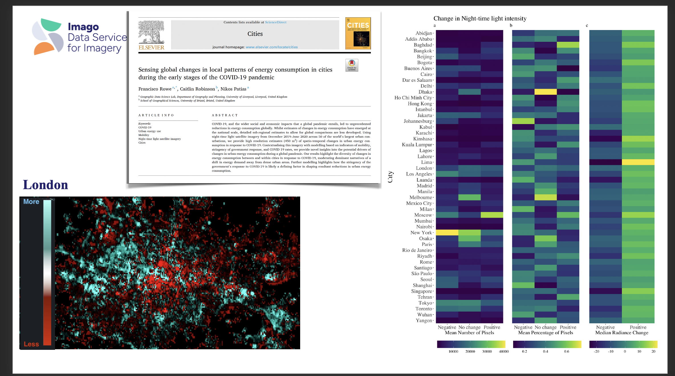
Sensing global changes in local patterns of energy consumption in cities during the early stages of COVID-19 pandemic
From experimental to official migration statistics: A conceptual and actionable framework for quality assurance in mobile-network-operator-derived estimates
Beyond the Immediate Impacts of COVID-19 on Human Mobility
Beyond the polls: Decoding migration sentiment with AI and digital trace data
Producing Population-level Estimates of Internal Displacement in Ukraine Using GPS Mobile Phone Data
Smart Data Research UK panel - "Let’s do good things with data"
Releasing the full potential of digital trace data for human migration research
Producing Population-level Estimates of Internal Displacement in Ukraine Using GPS Mobile Phone Data
Correcting Distorted Human Mobility Data from Mobile Phone Applications
Estimating the isolated and compounded effects of climate change impacts on population displacement
Correcting for Biases in Location Data from Mobile Phones to Estimate Mobility Flows
Beyond the Census: Leveraging digital data sources to dynamically capture human mobility and migration
Unlocking the Potential of Mobile Phone and Satellite Imagery for Understanding Fast-Paced Societal Changes
Correcting Distorted Human Mobility Data from Mobile Phone Applications
Correcting Distorted Human Mobility Data from Mobile Phone Applications
Mobile Phone Data for Cross-border Population & Expenditure Flows: Ideas & Challenges

Dynamic Estimates of Displacement in Disaster Regions
Dynamic Estimates of Displacement in Disaster Regions
Producing Population-Level Estimates of Internal Displacement in Ukraine Using GPS Mobile Phone Data
Leveraging Digital Data Streams for Internal Population Movements
Using Innovative Data to Understand Population Flows from and within Ukraine
Identifying Place-based Trajectories of Spatial Inequality Using Sequence Analysis
Understanding Human Mobility in Britain During the COVID-19 Pandemic Using Facebook Data
The Spread, Network Structure and Content Creation of Migration Sentiment Online
Using Mobile Phone Data to Measure Human Mobility. Progress, Challenges and Practice
GIS Research Impact
Big Data and Human Geography. Current Practice & Challenges
InequaliTies IN Experiencing uRbAn fuNcTion (ITINERANT)
Measuring How 15-minutes Urban Accessibility Shapes Human Mobility in Barcelona
Geographic Data Science
InequaliTies IN Experiencing uRbAn fuNcTion (ITINERANT)
Using Twitter to Track Immigration Sentiment During Early Stages of the COVID-19 Pandemic
Twitter. Maximising Research Impact Potential

Big Data. Opportunities and Challenges
Using Machine Learning and Twitter Data to Profile Attitudes Towards Immigration
Using Machine Learning and Twitter Data to Profile Attitudes Towards Immigration
Using Twitter to Track Immigration Sentiment During Early Stages of the COVID-19 Pandemic
Using Twitter and Machine Learning to Understand Attitudes Towards Immigration
Measuring Urban Forest Using Street-Level Imagery and Deep Learning
How Do Local Labor Markets Looks From Above? An Automated Satellite Imagery Approach
Migration, Cities & Big Data
Talk Descriptions
Adjusting Distortions in Human Population Data from Mobile Phone Location Data
Abstract: Access to human population data is key for a wider variety of social challenges, including urban planning, sustainability, public health and economic development. Location trace data collected through digital technology, such as mobile applications and internet protocol have become widely available to study human mobility, and overcome key limitations of traditional data streams, such as surveys and censuses. Yet, digital trace data are not representative of the general population, and consequently require statistical adjustment to mitigate existing biases and make robust statistical inferences. While efforts have been made to correct human mobility data from digital sources, no generalisable solution has been proposed to satisfactorily adjust human mobility flows by attributes at the origin and destination areas. I will present the work from DEBIAS which is one of the nine Smart Data Research UK-funded accelerator projects. DEBIAS aims to develop a generalisable framework to measure, assess and correct existing biases in human mobility data extracted from digital trace data. First, I will present a measure to quantify biases in spatial population counts derived from digital trace data, and identify key demographic, socioeconomic and geographic features underlying these biases. Second, I will introduce the proposed framework to mitigate biases in spatial population count data, and generate bias-adjusted DF human mobility counts. Third, I will present our plans for future work on this area.
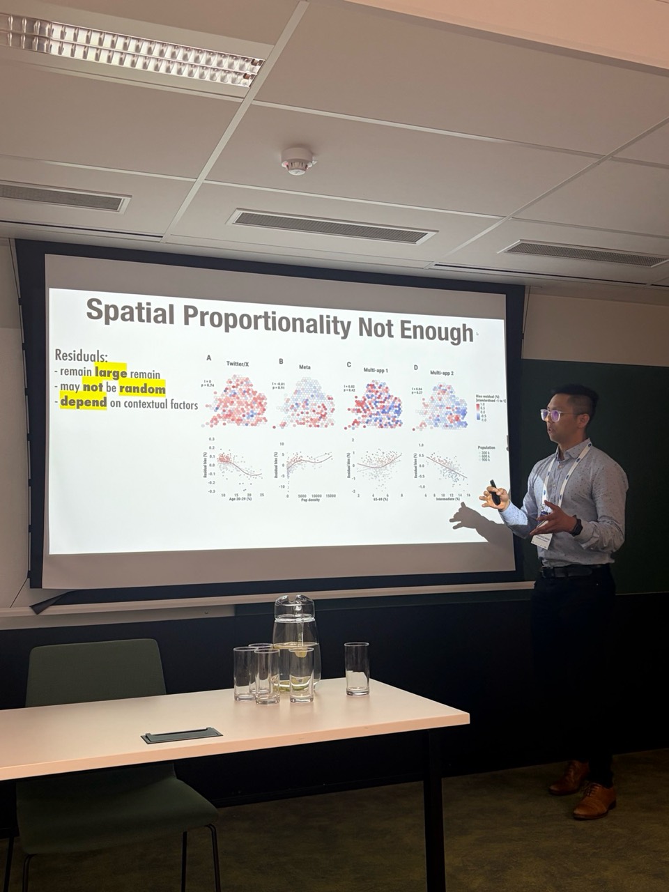
Correcting Biases in Mobile-Phone Mobility Data: The DEBIAS Framework
Abstract: Hands-on PhD School workshop at Mobile Tartu 2026 introducing DEBIAS, an open framework and R package for identifying, assessing, correcting, and validating biases in mobile-phone and app-based mobility data. The workshop combined conceptual grounding, practical data analysis, and group exercises to help participants improve the reliability of digital mobility data for urban, transport, and demographic research.
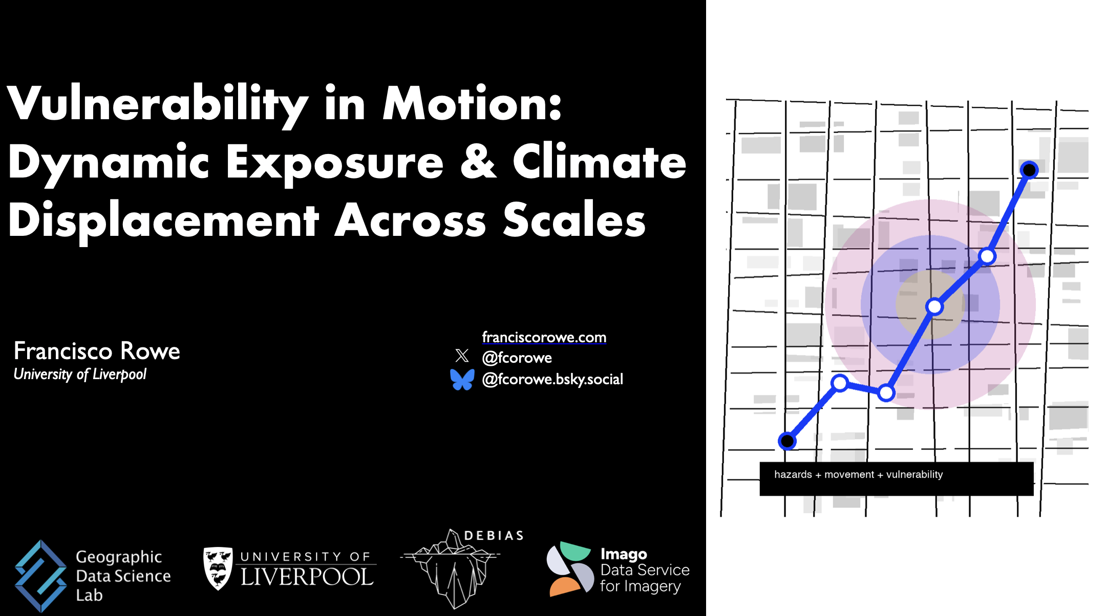
Vulnerability in Motion: Dynamic Exposure & Climate Displacement Across Scales
Abstract: Presentation for the Visualising Air-Energy-Climate Vulnerabilities workshop, contributing to the Mapping across scales session on dynamic exposure, vulnerability, movement, and climate displacement.
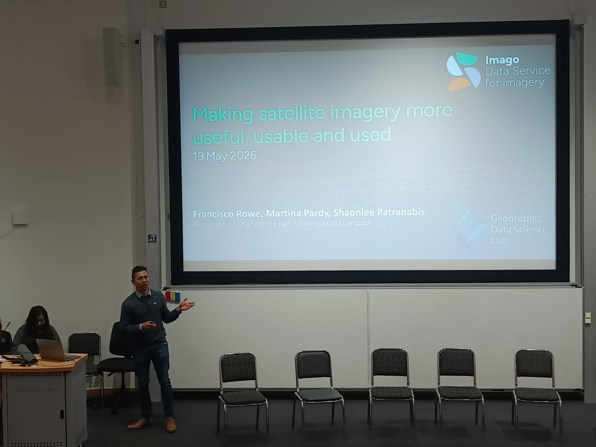
Making satellite imagery more useful - presentation from Data Service for Imagery (Imago)
Abstract: Presentation from the Data Service for Imagery (Imago) on making satellite imagery more useful, usable, and used.
Geographic Data Science Lab research activity
Abstract: Knowledge exchange talk presenting Geographic Data Science Lab research activity, including current projects, methods, data resources, and opportunities for collaboration.
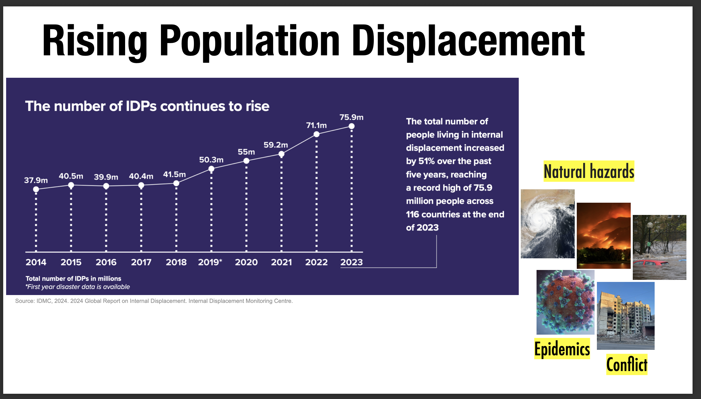
Incorporating Digital Trace Data into Movement Estimates for Crisis Response
Abstract: Internal displacement continues to rise at an alarming pace, with an estimated 83.4 million people living in displacement globally at the end of 2024 (IDMC, 2025). As crises become more frequent, complex, and overlapping, humanitarian actors face growing pressure to generate timely, reliable, and actionable insights on population movements to inform preparedness, response, and recovery. Digital trace data, such as anonymised Call Detail Records (CDRs), GPS-enabled mobile phone data, satellite imagery, and aggregated social media usage statistics, offer new opportunities to complement traditional displacement data systems. When responsibly integrated, these data can improve the timeliness, spatial resolution, and coverage of movement estimates, particularly in rapidly evolving, insecure, or access-constrained contexts. At the same time, significant challenges remain, including methodological uncertainty, bias and representativeness, interoperability with existing humanitarian systems, ethical and privacy safeguards, and barriers to operational uptake. This in-person roundtable brings together organisations producing digital trace analyses alongside those using or seeking to integrate these insights into humanitarian decision-making, focusing on concrete use cases, practical trade-offs, and lessons learned from applying digital trace data to displacement and mobility estimation across humanitarian, public health, and crisis response settings.
Transport Demand and human behaviour: A new approach
Abstract: This roundtable explores the relationship between economic activity, human behaviour, and transport demand, with a focus on reimagining forecasting, prediction, and modelling approaches. It examines how to move beyond traditional data sources by incorporating real-time data and the concept of “human weather” using population movement as a predictive tool. The discussion addresses challenges such as accounting for diverse and unpredictable behaviours, developing more localised and adaptive models, governance and guidance, and better alignment between regional and national planning priorities.
Geospatial Foundation Models for Population Dynamics
Abstract: Population dynamics-migration, redistribution, ageing, and urban change-are notoriously difficult to predict accurately, particularly at fine spatio-temporal resolutions. Population can shift rapidly and unevenly, while spatial data are often sparse, misaligned across scales, or temporally delayed. Traditional analytical approaches rely on hand-crafted variable features and task-specific models that rarely generalise across regions or contexts. This talk argues that granular population dynamics should be understood fundamentally as a representation problem. Geospatial foundation models offer a paradigm shift by learning reusable embeddings of places from large, heterogeneous, multi-source spatial data. Rather than engineering variables for each outcome, these models learn latent representations that encode complex human-environment interactions and act as spatial priors when outcome data are sparse or noisy. I will outline how geospatial embeddings enable spatial interpolation, extrapolation, super-resolution, and forecasting augmentation across key societal challenges, including census gaps, shocks and crises, urban inequality, migration and displacement and deprivation mapping. By decoupling representation learning from downstream inference, these models support reusable and transferable spatial reasoning across multiple population applications. The talk concludes by discussing frontier technical and conceptual challenges-including scale, comparability, data coverage, and causal interpretation-and argues that while foundation models do not solve all problems in population science, they significantly expand what is observable and inferable under conditions of uncertainty and change.
Geographic Data Science Lab: Research activity and collaboration opportunities
Abstract: The rapid expansion of digital trace data has transformed the empirical foundations of population and mobility research. High-frequency, high-resolution streams derived from mobile phones, apps, and satellite imagery offer unprecedented opportunities to monitor spatial patterns, behavioural change, and exposure in near real time. Yet these data are not collected for research purposes and are shaped by persistent and evolving digital divides, platform-specific engagement, and selective coverage. As a result, they provide powerful but biased “windows” onto population processes rather than population-level measurements.
Correcting Distorted Human Population Data from Mobile Phone Location Data
Abstract: Access to human population data is key for a wider variety of social challenges, including urban planning, sustainability, public health and economic development. Location trace data collected through digital technology, such as mobile applications and internet protocol have become widely available to study human mobility, and overcome key limitations of traditional data streams, such as surveys and censuses. Yet, digital trace data are not representative of the general population, and consequently require statistical adjustment to mitigate existing biases and make robust statistical inferences. While efforts have been made to correct human mobility data from digital sources, no generalisable solution has been proposed to satisfactorily adjust human mobility flows by attributes at the origin and destination areas. I will present the work from DEBIAS which is one of the nine Smart Data Research UK-funded accelerator projects. DEBIAS aims to develop a generalisable framework to measure, assess and correct existing biases in human mobility data extracted from digital trace data. First, I will present a measure to quantify biases in spatial population counts derived from digital trace data, and identify key demographic, socioeconomic and geographic features underlying these biases. Second, I will introduce the proposed framework to mitigate biases in spatial population count data, and generate bias-adjusted DF human mobility counts. Third, I will present our plans for future work on this area.
Book of Imagery
Abstract: Presentation on the Book of Imagery at the Imago Summit, discussing themes and applications of imagery for social and spatial analysis.
Peer Review - Giada’s paper
Abstract: Internal peer review session focused on Giada’s paper, discussing framing, methods, and revisions.
Dynamic Estimates of Displacement in Disaster Regions
Abstract: This talk presents dynamic estimates of displacement in disaster regions, highlighting policy-relevant approaches to triangulate multiple data sources for timely and actionable evidence.

Estimating Internal Displacement in Ukraine from High-Frequency GPS Mobile Phone Data
Abstract: This talk presents methods to estimate internal displacement in Ukraine from high-frequency GPS mobile phone data, focusing on timely measurement and policy-relevant inference under crisis conditions.
Introduction
Abstract: Introductory session to the Geographic Data Science Lab, outlining research themes, ongoing work, and opportunities for collaboration.
Sensing global changes in local patterns of energy consumption in cities during the early stages of COVID-19 pandemic
Abstract: This talk examines global changes in local patterns of energy consumption in cities during the early stages of the COVID-19 pandemic, highlighting how digital data can reveal spatially heterogeneous urban responses.
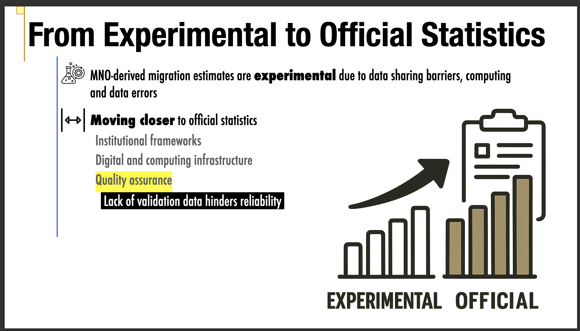
From experimental to official migration statistics: A conceptual and actionable framework for quality assurance in mobile-network-operator-derived estimates
Abstract: This talk presents a conceptual and actionable framework for quality assurance in mobile-network-operator-derived migration estimates, supporting the transition from experimental outputs to official migration statistics.
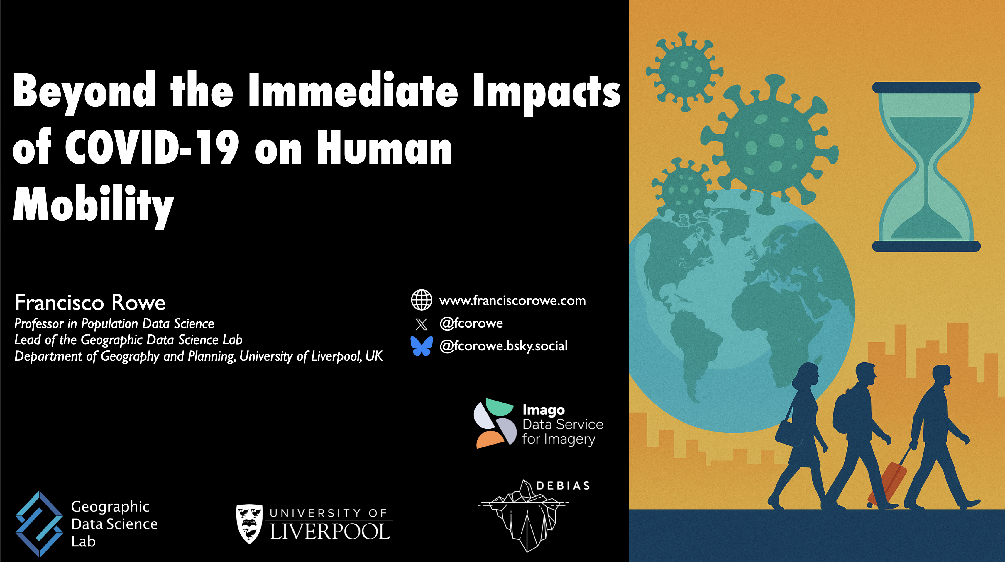
Beyond the Immediate Impacts of COVID-19 on Human Mobility
Abstract: This lightning talk examines mobility dynamics beyond the immediate impacts of COVID-19 on human mobility. It draws on Facebook Population and Movement data to show how digital trace data can support timely evidence on shifting population patterns. The talk also highlights impact through collaboration with the United Nations to support disaster operations and the planning of sustainable cities.
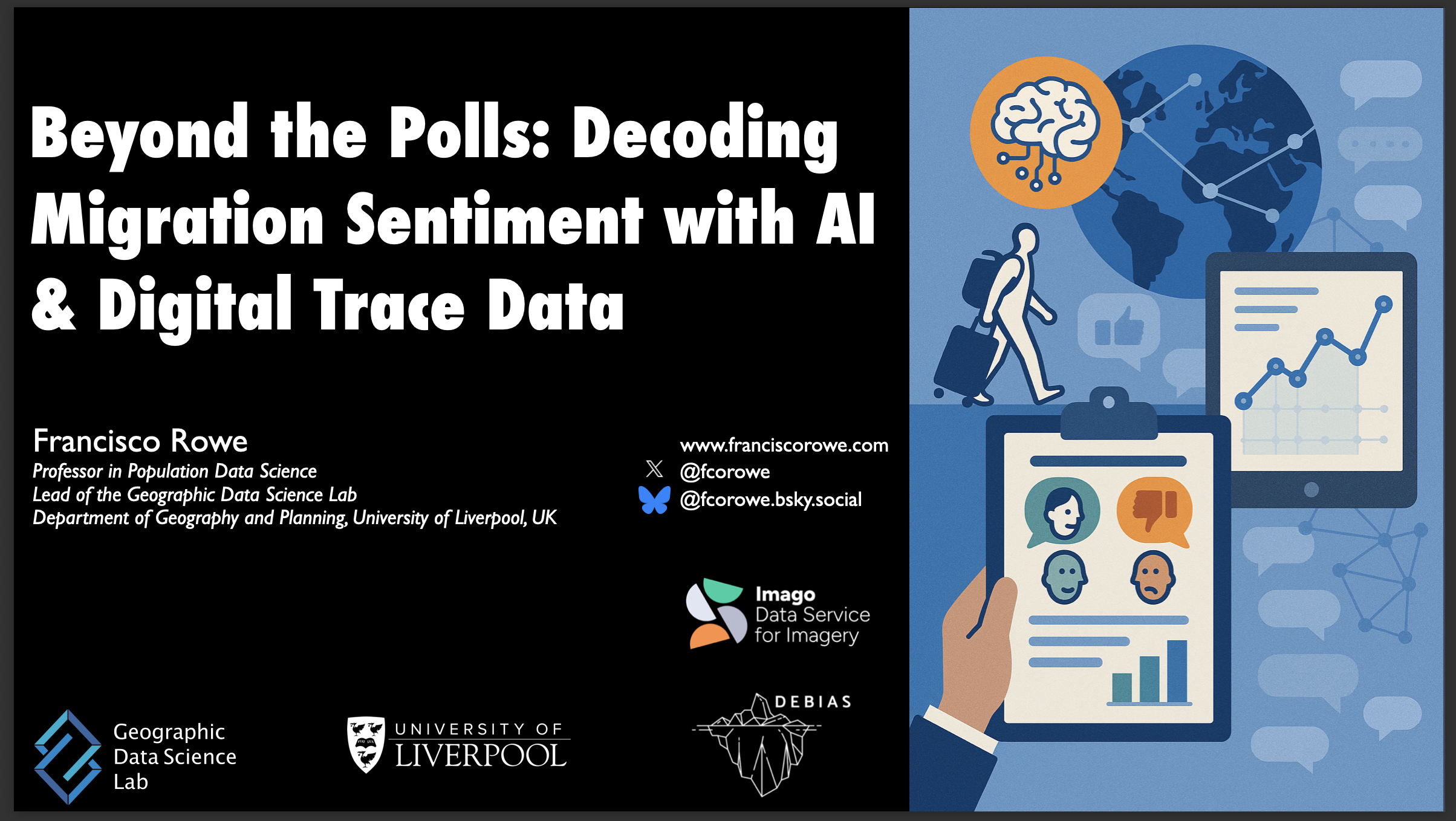
Beyond the polls: Decoding migration sentiment with AI and digital trace data
Abstract: Migration has become one of the most polarising issues in global public discourse, shaping elections, policy agendas, and social cohesion. Yet, our ability to measure migration sentiment and narratives at scale in high geographical and temporal resolutions remains constrained by the limitations of traditional surveys. In this talk, I present a new frontier in migration research, showcasing how artificial intelligence -specifically natural language processing (NLP) and large language models (LLMs)- combined with digital trace data, can transform how we understand migration debates in real time and across languages at high temporal frequency and spatial granularity. Drawing on over 1.3 million georeferenced tweets spanning more than a decade and 13 languages, I introduce an integrative framework that leverages supervised and unsupervised NLP techniques to detect shifts in migration salience, classify sentiment polarity, and map narrative themes across time and space. The results show strong temporal responses to key events (e.g., COVID-19, Brexit), increasing spatial polarisation, and the emergence of echo chambers dominated by highly active anti-immigration users. These accounts drive rapid, wide dissemination of anti-migration content -often 1.5x faster than pro-migration messages- shaping the public conversation disproportionately. I also present novel findings on cross-lingual model transfer. LLMs fine-tuned on one or two languages can generalise to classify immigration discourse in unseen languages with high accuracy, especially for identifying topic salience. However, stance classification still benefits from multilingual fine-tuning to overcome pretraining biases. Lightweight, cost-efficient fine-tuning methods such as low-rank adaptation and quantised models enable scalable, inclusive analysis for low-resource settings. Together, these insights highlight the promise and the perils of using AI and digital data to study migration opinion. They offer new tools to track public attitudes, inform policy, and combat misinformation, while raising ethical questions about algorithmic bias and representativeness in digital platforms. This work calls for an interdisciplinary dialogue on how we can responsibly harness AI to understand and engage with migration narratives in an increasingly digital and multilingual world.
Producing Population-level Estimates of Internal Displacement in Ukraine Using GPS Mobile Phone Data
Abstract: This talk presents methods to produce population-level estimates of internal displacement in Ukraine using GPS mobile phone data, with emphasis on robust inference under crisis conditions.
Smart Data Research UK panel - "Let’s do good things with data"
Abstract: Panel contribution for Smart Data Research UK on doing socially impactful work with data, with discussion of opportunities, challenges, and practical pathways for public-good data use.

Releasing the full potential of digital trace data for human migration research
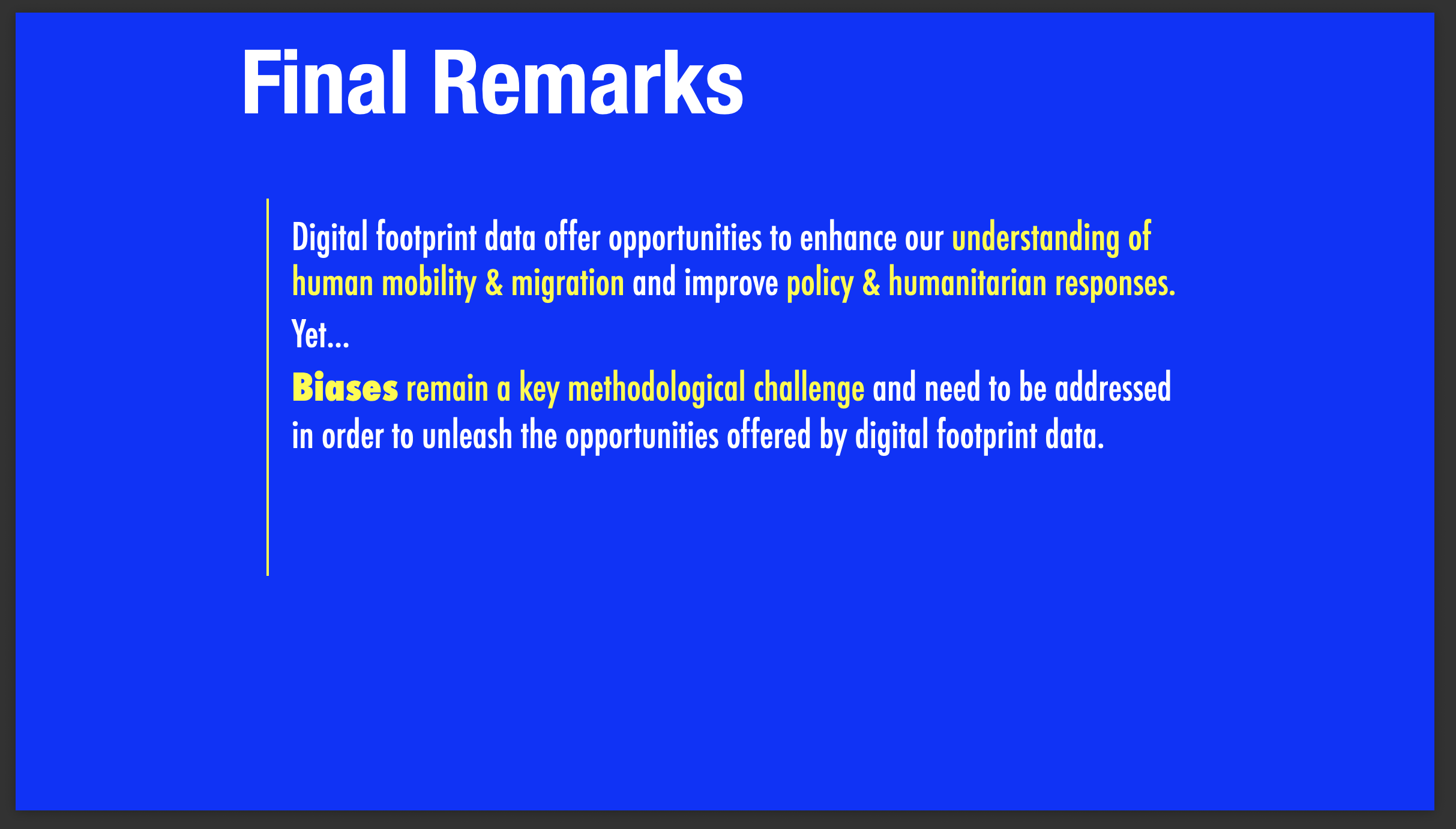
Abstract: Technological advances have enabled the emerge of ‘Big Data’ through the production, processing, analysis and storage of large volumes of digital information. Data that could not previously be stored, or used to be captured through analogue devices, can now be digitally recorded. These data offer high geographic and temporal granularity, extensive coverage and instant information to measure and transform our understanding of human mobility. Substantively, studies unleashing the attributes of digital footprint data have contributed to expanding existing theories, developing new explanations, adopting new analytical tools and infrastructures, and advancing new areas of research, such as computational social science and geographic data science. Yet, these data also present major epistemological, methodological and ethical challenges. This talk identifies these challenges and discusses current practices and potential opportunities for future research.
Producing Population-level Estimates of Internal Displacement in Ukraine Using GPS Mobile Phone Data
Abstract: This talk presents methods to produce population-level estimates of internal displacement in Ukraine using GPS mobile phone data, with emphasis on near real-time measurement and population inference.
Correcting Distorted Human Mobility Data from Mobile Phone Applications
Abstract: Access to human mobility data is key for a wider variety of social challenges, including urban planning, sustainability, public health and economic development. Location trace data collected through digital technology, such as mobile applications have become widely available to study human mobility, and overcome key limitations of traditional data streams, such as surveys and censuses. Yet, digital trace data are not representative of the general population, and consequently require statistical adjustment to mitigate existing biases and make robust statistical inferences. While efforts have been made to correct human mobility data from digital sources, no generalisable solution has been proposed to satisfactorily adjust human mobility flows by attributes at the origin and destination areas. I will present the work of newly ESRC-funded project DEBIAS which aims to develop a generalisable framework to measure, assess and correct existing biases in human mobility data extracted from digital trace data. First, I will present a measure to quantify biases in spatial population counts derived from digital trace data, and identify key demographic, socioeconomic and geographic features underlying these biases. Second, I will introduce the proposed framework to mitigate biases in spatial population count data, and generate bias-adjusted DF human mobility counts. Third, I will present our plans for future work on this area.
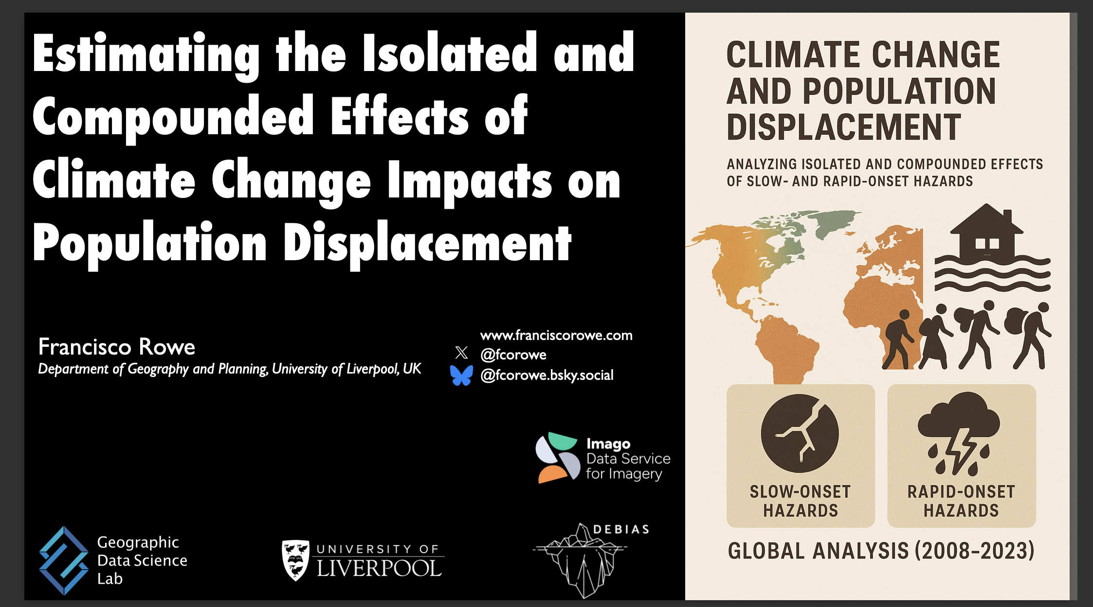
Estimating the isolated and compounded effects of climate change impacts on population displacement
Abstract: Climate-induced population displacement is a global challenge, with wide-ranging consequences for global stability and human welfare. Climate change is accelerating and amplifying the drivers of population movement. Previous empirical work has analysed the isolated, direct and immediate impacts of climate change on human mobility largely focusing on temperature and precipitation. While necessary, temperature and precipitation changes are not a sufficient condition to generate population movement. They trigger mobility if they translate into tangible environmental changes (e.g. drought or flooding). Missing is robust empirical evidence to understand the effects of different types of slow- and sudden-onset hazard events, and their compounded effects on population movements. By spatially integrating population, socio-economic and disaster data from Internal Displacement Monitoring Centre, WorldPop and NASA, this paper aims to provide a global analysis of the effects of slow- and sudden-onset hazards, and their compounded effects on population movements over a 15-year period (2008-2023). Preliminary findings show that population displacement has not increased steadily over time despite a large historical growth in the number of rapid-onset natural hazards. Flooding and storms have systematically remained the most prevalent natural hazards. Rapid-onset hazards have concentrated in more vulnerable communities characterised by high deprivation, triggering disproportionately larger population displacement. We expect that areas impacted by the compounded effects of rapid- and slow-onset hazards have the largest flows of population displacement globally. We expect that our findings advance our knowledge of the full range of impacts of sudden- and slow-onset climate events on population displacement, and inform the development of anticipatory climate adaptation and disaster management action plans.
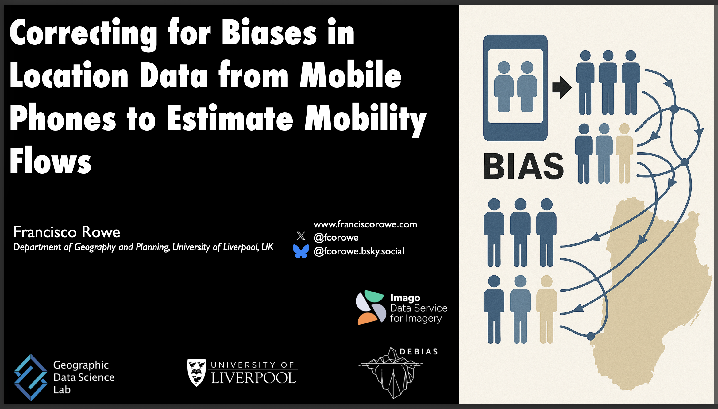
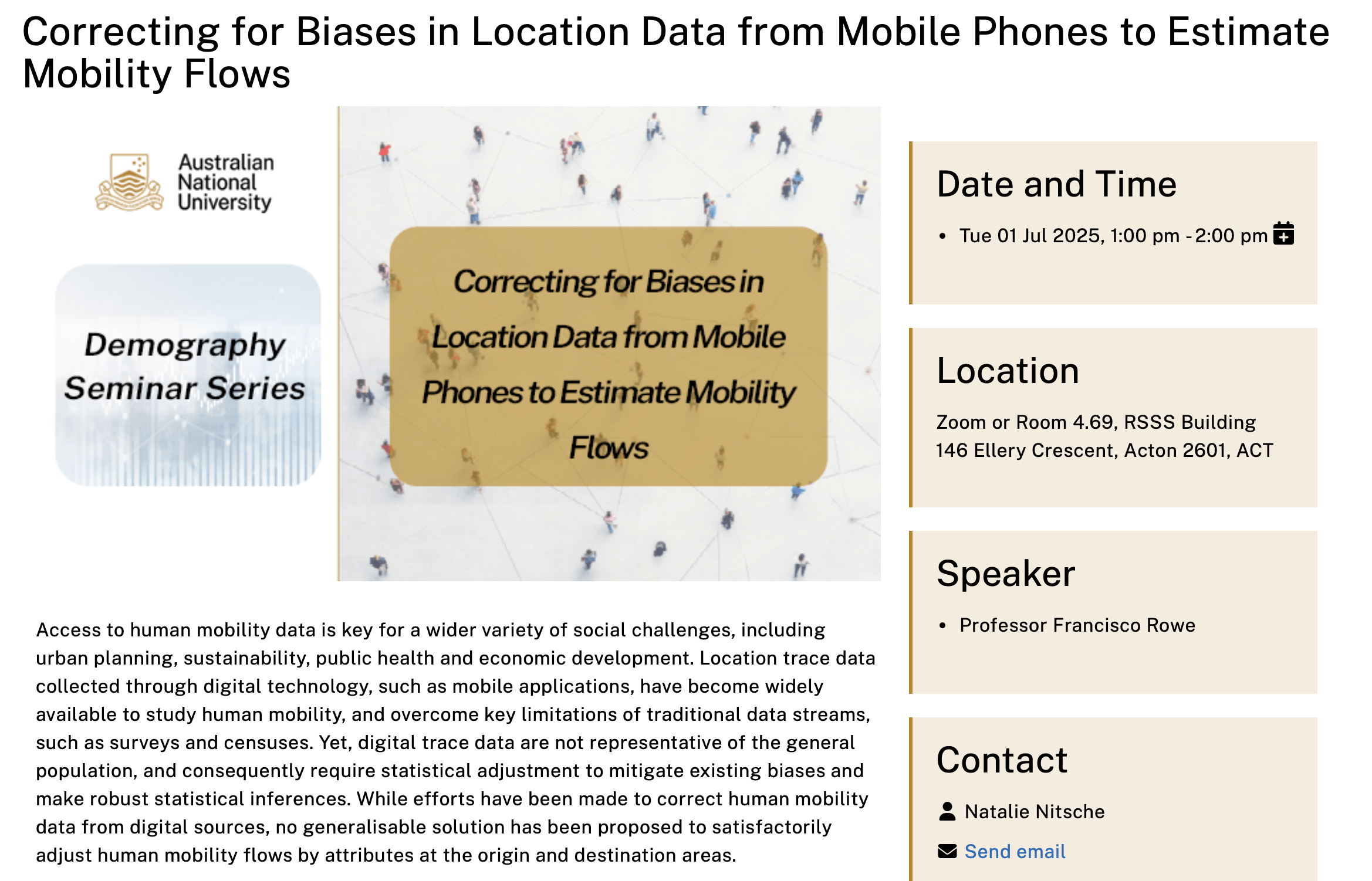
Correcting for Biases in Location Data from Mobile Phones to Estimate Mobility Flows
Abstract: Access to human mobility data is key for a wider variety of social challenges, including urban planning, sustainability, public health and economic development. Location trace data collected through digital technology, such as mobile applications have become widely available to study human mobility, and overcome key limitations of traditional data streams, such as surveys and censuses. Yet, digital trace data are not representative of the general population, and consequently require statistical adjustment to mitigate existing biases and make robust statistical inferences. While efforts have been made to correct human mobility data from digital sources, no generalisable solution has been proposed to satisfactorily adjust human mobility flows by attributes at the origin and destination areas. I will present the work of newly ESRC-funded project DEBIAS which aims to develop a generalisable framework to measure, assess and correct existing biases in human mobility data extracted from digital trace data. First, I will present a measure to quantify biases in spatial population counts derived from digital trace data, and identify key demographic, socioeconomic and geographic features underlying these biases. Second, I will introduce the proposed framework to mitigate biases in spatial population count data, and generate bias-adjusted human mobility counts from digital trace sources. Third, I will present our plans for future work on this area.
Beyond the Census: Leveraging digital data sources to dynamically capture human mobility and migration
Abstract: Access to human mobility data is key for a wider variety of social challenges, including urban planning, sustainability, public health and economic development. Location trace data collected through digital technology, such as mobile applications have become widely available to study human mobility, and overcome key limitations of traditional data streams, such as surveys and censuses. Yet, digital trace data are not representative of the general population, and consequently require statistical adjustment to mitigate existing biases and make robust statistical inferences. While efforts have been made to correct human mobility data from digital sources, no generalisable solution has been proposed to satisfactorily adjust human mobility flows by attributes at the origin and destination areas. I will present the work of newly ESRC-funded project DEBIAS which aims to develop a generalisable framework to measure, assess and correct existing biases in human mobility data extracted from digital trace data. First, I will present a measure to quantify biases in spatial population counts derived from digital trace data, and identify key demographic, socioeconomic and geographic features underlying these biases. Second, I will introduce the proposed framework to mitigate biases in spatial population count data, and generate bias-adjusted human mobility counts from digital trace sources. Third, I will present our plans for future work on this area.
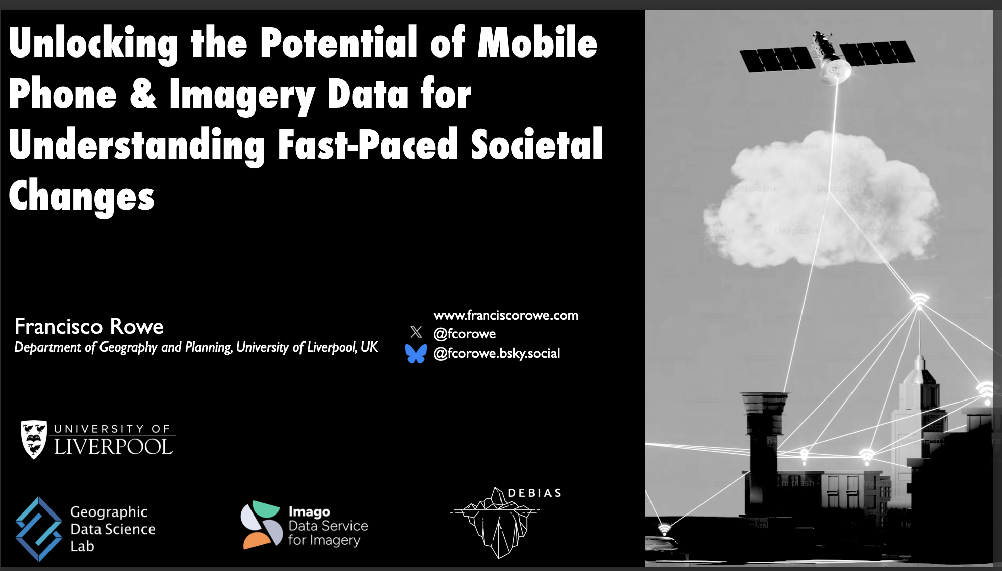
Unlocking the Potential of Mobile Phone and Satellite Imagery for Understanding Fast-Paced Societal Changes
Abstract: In 2022, UK Research and Innovation (UKRI) launched Smart Data Research UK (SDR UK) to harness the vast potential of ‘smart data’—digital traces generated through everyday interactions with digital devices and services—to address pressing societal challenges. In our increasingly digital society, activities such as online shopping, social media engagement, and use of navigation systems produce extensive data. These ‘smart data’ offer valuable insights into human behaviour, economic trends, and societal patterns. However, researchers have faced significant barriers in accessing and utilising smart data sources effectively due to challenges related to data usability, infrastructure and ethical considerations. At the Geographic Data Science Lab of the University of Liverpool, we have received funding to contribute overcoming these obstacles. Specifically we are leading the development and running of a national data service and an accelerator project which, respectively, seek to unlock the power of satellite imagery and mobile phone data to address pressing social, economic and environmental challenges. I will talk about the rationale of these projects, current progress and future plans.
Correcting Distorted Human Mobility Data from Mobile Phone Applications
Abstract: Access to human mobility data is key for a wider variety of social challenges, including urban planning, sustainability, public health and economic development. Location trace data collected through digital technology, such as mobile applications have become widely available to study human mobility, and overcome key limitations of traditional data streams, such as surveys and censuses. Yet, digital trace data are not representative of the general population, and consequently require statistical adjustment to mitigate existing biases and make robust statistical inferences. While efforts have been made to correct human mobility data from digital sources, no generalisable solution has been proposed to satisfactorily adjust human mobility flows by attributes at the origin and destination areas. I will present the work of newly ESRC-funded project DEBIAS which aims to develop a generalisable framework to measure, assess and correct existing biases in human mobility data extracted from digital trace data. First, I will present a measure to quantify biases in spatial population counts derived from digital trace data, and identify key demographic, socioeconomic and geographic features underlying these biases. Second, I will introduce the proposed framework to mitigate biases in spatial population count data, and generate bias-adjusted human mobility counts from digital trace sources. Third, I will present our plans for future work on this area.
Correcting Distorted Human Mobility Data from Mobile Phone Applications
Abstract: Access to human mobility data is key for a wider variety of social challenges, including urban planning, sustainability, public health and economic development. Location trace data collected through digital technology, such as mobile applications have become widely available to study human mobility, and overcome key limitations of traditional data streams, such as surveys and censuses. Yet, digital trace data are not representative of the general population, and consequently require statistical adjustment to mitigate existing biases and make robust statistical inferences. While efforts have been made to correct human mobility data from digital sources, no generalisable solution has been proposed to satisfactorily adjust human mobility flows by attributes at the origin and destination areas. I will present the work of newly ESRC-funded project DEBIAS which aims to develop a generalisable framework to measure, assess and correct existing biases in human mobility data extracted from digital trace data. First, I will present a measure to quantify biases in spatial population counts derived from mobile phone applications, and identify key demographic, socioeconomic and geographic features underlying these biases. Second, I will introduce the proposed framework to mitigate biases in spatial population count data, and generate bias-adjusted human mobility counts from mobile phone applications. Third, I will present our plans for future work on this area.
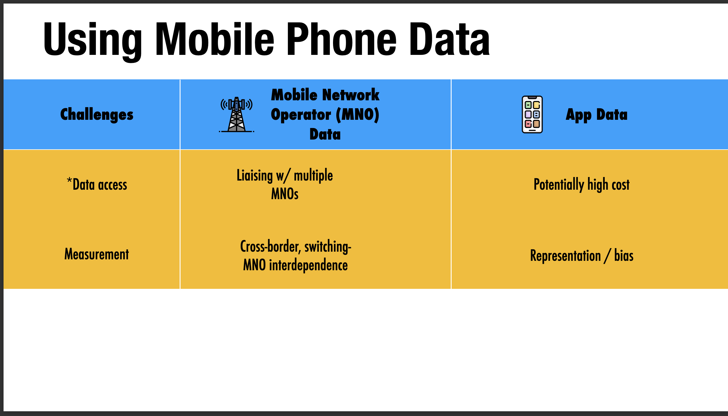
Mobile Phone Data for Cross-border Population & Expenditure Flows: Ideas & Challenges
Abstract: This workshop talk discusses the use of mobile phone data to estimate cross-border population and expenditure flows across internal European Union borders, focusing on methodological opportunities and practical challenges for robust measurement.
Dynamic Estimates of Displacement in Disaster Regions
Abstract: This workshop and hackathon talk introduces a policy-driven framework for dynamic estimates of displacement in disaster regions by triangulating multiple data sources to support preparedness and response.
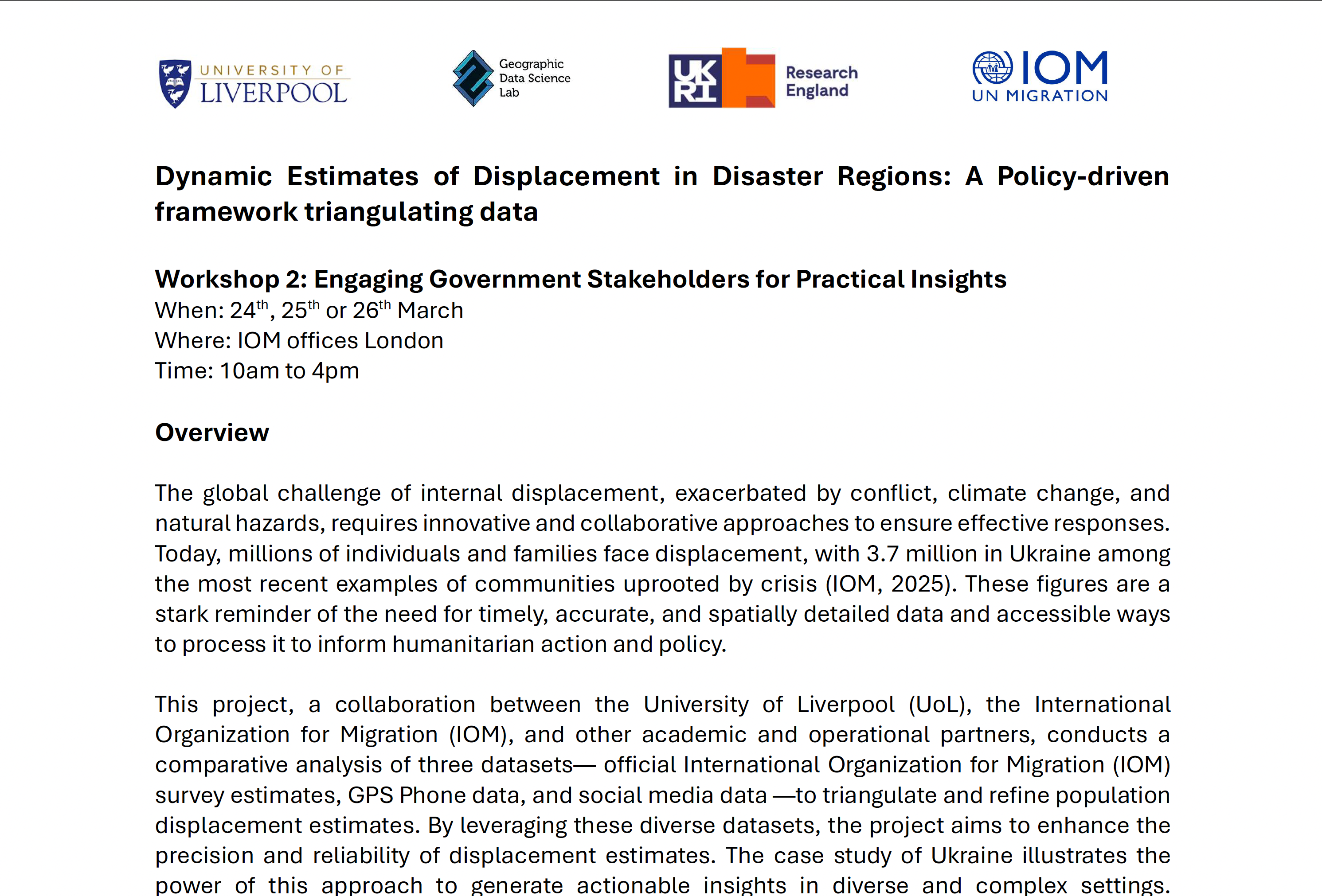
Dynamic Estimates of Displacement in Disaster Regions
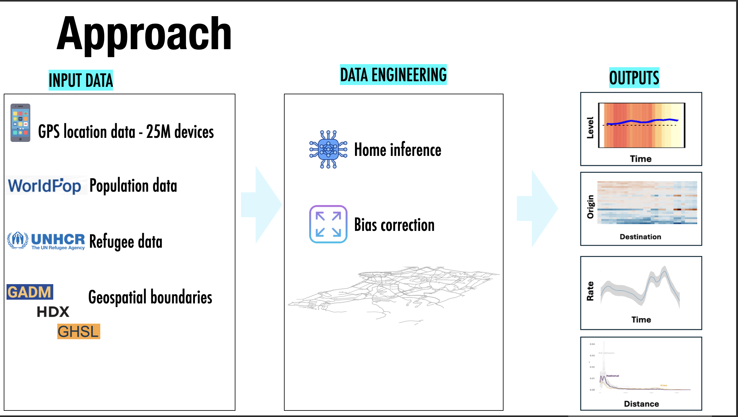
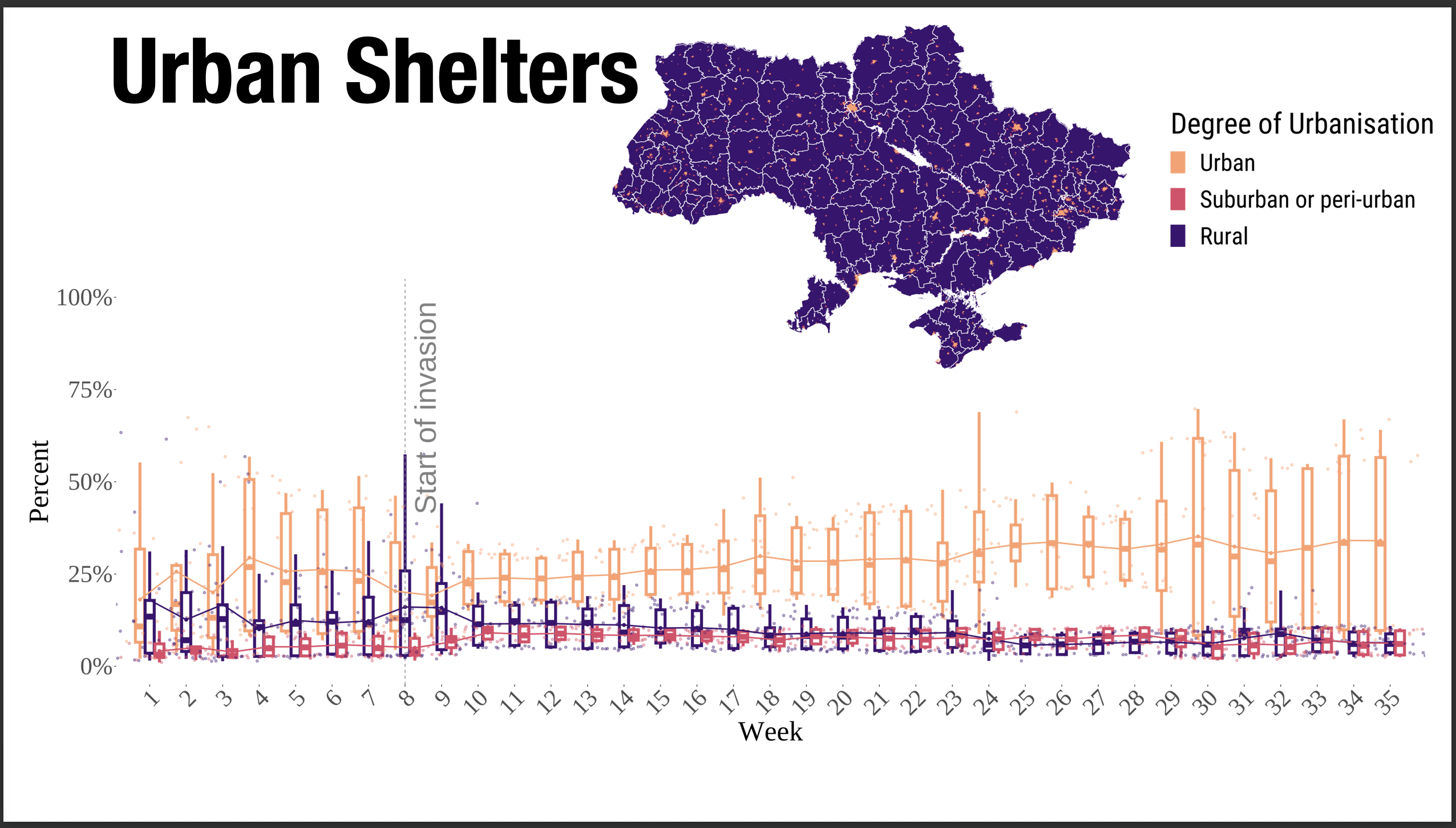
Abstract: The global challenge of internal displacement, exacerbated by conflict, climate change, and natural hazards, requires innovative and collaborative approaches to ensure effective responses. Today, millions of individuals and families face displacement, with 3.7 million in Ukraine among the most recent examples of communities uprooted by crisis (IOM, 2025). These figures are a stark reminder of the need for timely, accurate, and spatially detailed data and accessible ways to process it to inform humanitarian action and policy. This project, a collaboration between the University of Liverpool (UoL), the International Organization for Migration (IOM), and other academic and operational partners, conducts a comparative analysis of three datasets-official International Organization for Migration (IOM) survey estimates, GPS phone data, and social media data-to triangulate and refine population displacement estimates. By leveraging these diverse datasets, the project aims to enhance the precision and reliability of displacement estimates. The case study of Ukraine illustrates the power of this approach to generate actionable insights in diverse and complex settings. Importantly, this work has been developed in close partnership with operational agencies, ensuring its relevance to real-world needs and its potential to inform evidence-based decision making. The project includes three policy-focused workshops to foster dialogue between academic and policy institutions. A report will also be co-published in July 2025 reporting on displacement indicators including improved data integration tools, and an easy-to-read methodology document with reproducible code.
Producing Population-Level Estimates of Internal Displacement in Ukraine Using GPS Mobile Phone Data
Abstract: This talk presents methods to produce population-level estimates of internal displacement in Ukraine using GPS mobile phone data, with emphasis on measurement quality and policy relevance.
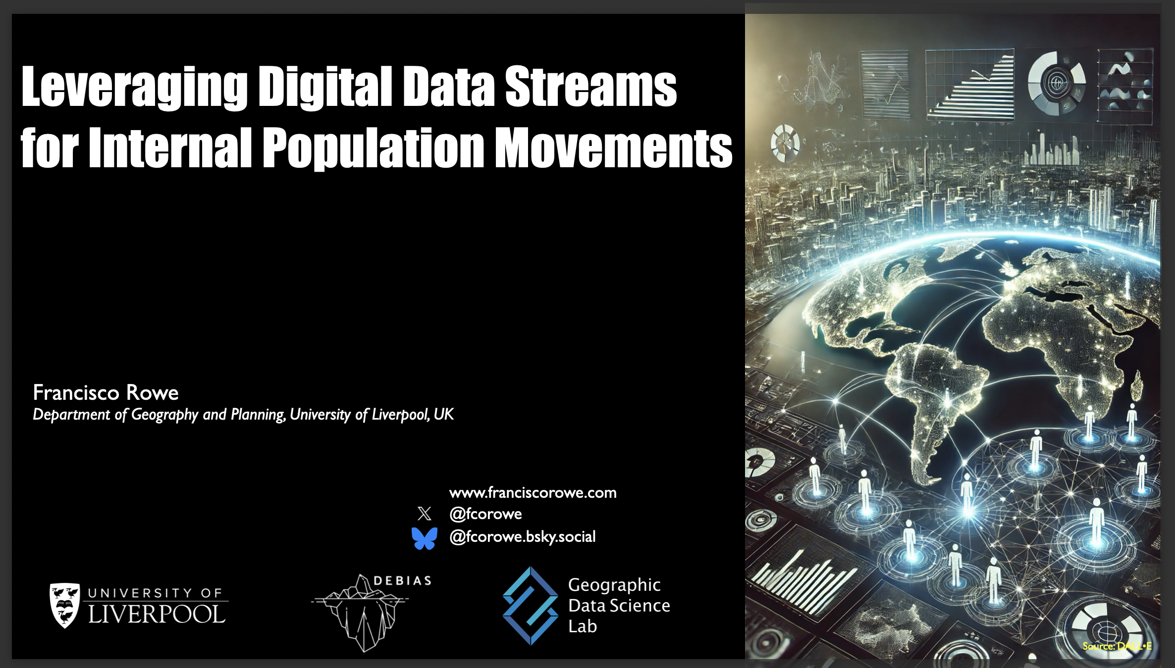
Leveraging Digital Data Streams for Internal Population Movements
Abstract: This talk discusses how digital data streams can be leveraged to measure internal population movements, in combination with registers, censuses, and surveys across Latin America.
Using Innovative Data to Understand Population Flows from and within Ukraine
Abstract: This seminar presents how innovative data sources can be used to understand population flows from and within Ukraine, with implications for policy and humanitarian response planning.
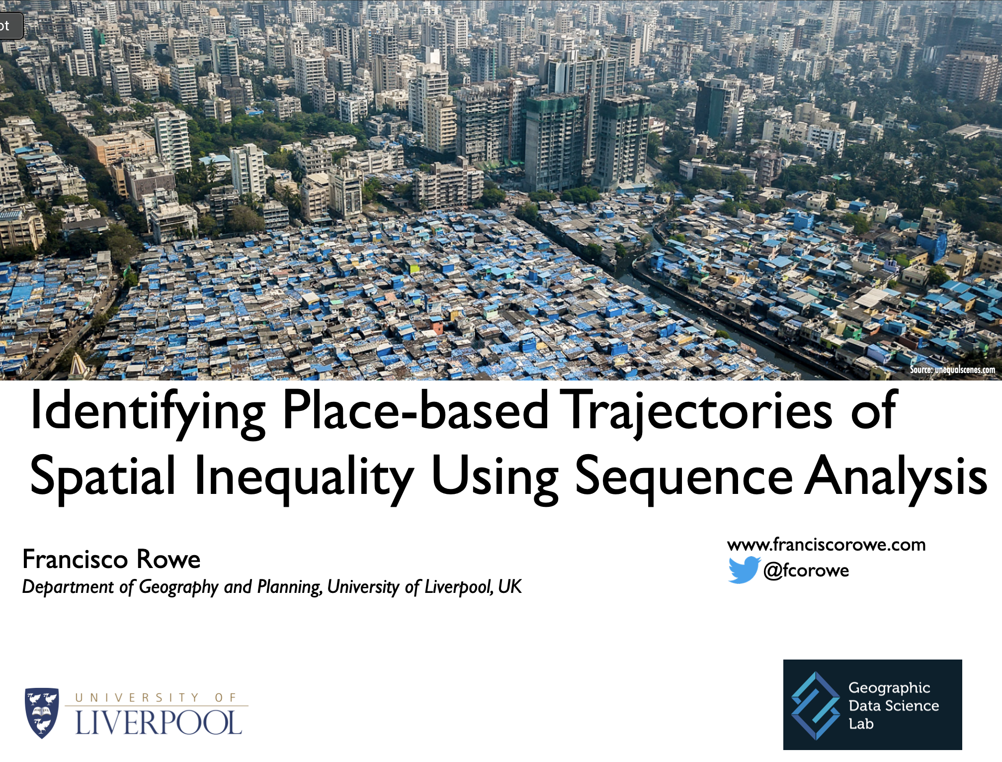
Identifying Place-based Trajectories of Spatial Inequality Using Sequence Analysis
Abstract: Understanding inequalities at the is key to inform policy. Neighbourhoods are the key of society and urban spaces. Key social processes occur at the neighbourhood level. Yet, lack of offering longitudinal data on places over a long window of time in spatial framework and variable definition over time represent key limitations to develop a long-term longitudinal understanding of spatial inequalities. In this talk, I will present a data-driven approach based on unsupervised machine learning and sequence analysis to define representative place-based trajectories of inequality.
Understanding Human Mobility in Britain During the COVID-19 Pandemic Using Facebook Data
Abstract: Existing empirical work has focused on assessing the effectiveness of non-pharmaceutical interventions on human mobility to contain the spread of COVID-19. Less is known about the ways in which the COVID-19 pandemic has reshaped the spatial patterns of population movement within countries. Anecdotal evidence of an urban exodus from large cities to rural areas emerged during early phases of the pandemic across western societies. Yet, these claims have not been empirically assessed. Traditional data sources, such as censuses offer coarse temporal frequency to analyse population movement over short-time intervals. Drawing on a data set of 21 million observations from Facebook users, we aim to analyse the extent and evolution of changes in the spatial patterns of population movement across the rural-urban continuum in Britain over an 18-month period from March, 2020 to August, 2021. Our findings show an overall and sustained decline in population movement during periods of high stringency measures, with the most densely populated areas reporting the largest reductions. During these periods, we also find evidence of higher-than-average mobility from highly dense population areas to low densely populated areas, lending some support to claims of large-scale population movements from large cities. Yet, we show that these trends were temporary. Overall mobility levels trended back to pre-coronavirus levels after the easing of non-pharmaceutical interventions. Following these interventions, we also found a reduction in movement to low density areas and a rise in mobility to high density agglomerations. Overall, these findings reveal that while COVID-19 generated shock waves leading to temporary changes in the patterns of population movement in Britain, the resulting vibrations have not significantly reshaped the prevalent structures in the national pattern of population movement.

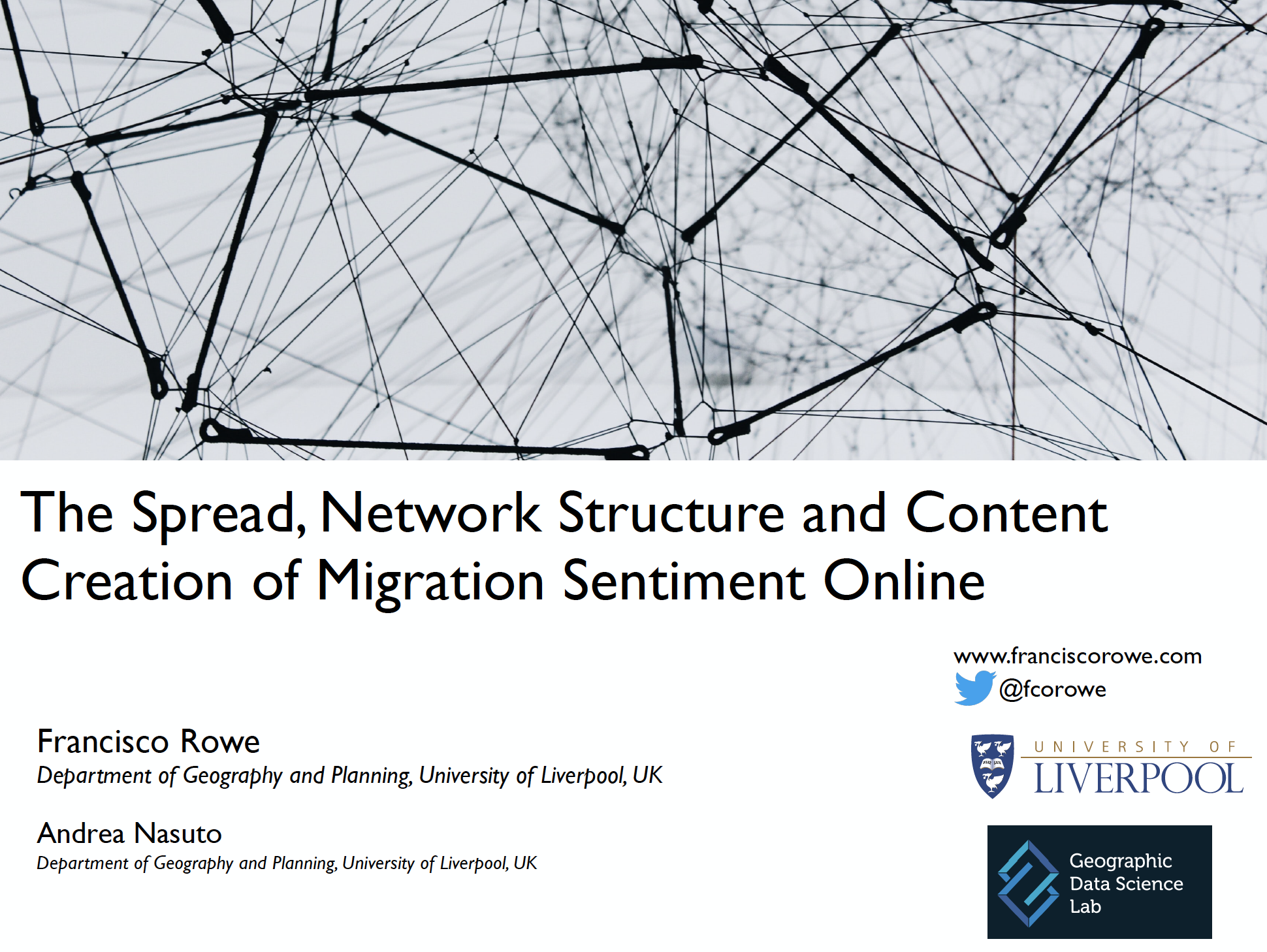
The Spread, Network Structure and Content Creation of Migration Sentiment Online
Abstract: Immigration is a key ingredient for social cohesion and economic development. Yet, it is often portrayed as a major threat to national identity, values, economic stability and security, particularly during challenging times, like the COVID-19 pandemic and economic downturns. With the rise of new technology, much of the discussions around migration and anti-sentiment creation happens online, but little is understood about its development and structure. Using machine learning and network science methods, we aim to study the properties and structure of the tweet network of the debate around migration, analysing the spread, speed and key creators on this network. Key findings provide evidence of a rise in anti-migration sentiment and a small network but highly active number of anti-migrant accounts. We identified key ‘creators’ or ‘spreaders’ of anti-migration sentiment. Results also highlighted the presence of potential ‘counter-hate’ which manifested through a rise in positive sentiment towards migrants or migration following peaks of negative sentiment. An investigation into the role and influence of bots revealed a high number of suspended accounts in the anti-migration network. A scale-free topology of the network shows that a small number of active users drive the spread of anti-migration sentiment. This implies that a targeted approach to tackling online hate could limit the rise in hate crimes towards migrants. This research demonstrates the need for an ongoing framework to monitor and tackle anti-migration sentiment on social media.
Using Mobile Phone Data to Measure Human Mobility. Progress, Challenges and Practice
Abstract: Technological advances have enabled the emerge of “Big Data” through the production, processing, analysis and storage of large volumes of digital data. Data that could not previously be stored or used to be captured using analogue devices can now be digitally recorded. These data offer high geographic and temporal granularity, extensive coverage and instant information to measure and transform our understanding of human mobility. Yet, they also present major challenges. This talk identifies these challenges and discusses current practices and potential opportunities for future research.

GIS Research Impact
Abstract: During this presentation I aim to discuss what is impact, why impact is important for research and the society at large, different pathways to impacts and how academics can use their research to impact society and provide expertise and skills.
Big Data and Human Geography. Current Practice & Challenges
Abstract: Technological advances have enabled the emerge of ‘Big Data’ through the production, processing, analysis and storage of large volumes of digital data. Data that could not previously be stored or used to be captured using analog devices can now be digitally recorded. This chapter identifies and discusses the existing and future challenges and opportunities of Big Data for human geography. Big Data offer high geographic and temporal granularity, extensive coverage and instant information to transform our understanding of human interactions and our social world. At the same time, Big Data present major epistemological, methodological and ethical challenges which need to be addressed to realise these opportunities. I identify the key challenges and actions for the future of human geography emerging from the use of Big Data.
InequaliTies IN Experiencing uRbAn fuNcTion (ITINERANT)
Abstract: Data have become a central pillar of society. Technological advances in computational power, storage and network platforms have enabled the production, processing, analysis and storage of large volumes of digital data. Information that previously could not be stored, or captured can now be digitally recorded. Digital data have become a key asset for government, businesses and individuals supporting their decision making processes and shaping human behaviour. A notable example has been the use of digital data to monitor the COVID-19 pandemic and inform the development of appropriate interventions. A key data stream has been location data from mobile phones. These data have enabled monitoring the geographic spread of COVID-19 in near-real time with technological companies, such as Apple and Google releasing regular mobility reports. More generally, mobile phone data are a rich source of information offering a unique opportunity to capture human behaviour at an unprecedented geographic and temporal resolution. Yet, key challenges remain, such as issues about privacy, representativeness, biases and the use of large, noisy and complex data sets.
Measuring How 15-minutes Urban Accessibility Shapes Human Mobility in Barcelona
Abstract: As cities expand, human mobility has become a central focus of urban planning and policy making to make cities more inclusive and sustainable. Initiatives such as the” 15-minutes city” have been put in place to shift the attention from monocentric city configurations to polycentric structures, increasing the availability and diversity of local urban amenities. Ultimately they expect to increase local walkability and increase mobility within residential areas. While we know how urban amenities influence human mobility at the city level, little is known about spatial variations in this relationship. Here, we use mobile phone, census, and volunteered geographical data to measure geographic variations in the relationship between origin-destination flows and local urban accessibility in Barcelona. Using a Negative Binomial Geographically Weighted Regression model, we show that, globally, people tend to visit neighborhoods with better access to education and retail. Locally, these and other features change in sign and magnitude through the different neighborhoods of the city in ways that are not explained by administrative boundaries, and that provide deeper insights regarding urban characteristics such as rental prices. In conclusion, our work suggests that the qualities of a 15-minutes city can be measured at scale, delivering actionable insights on the polycentric structure of cities, and how people use and access this structure.
Geographic Data Science
Abstract: No abstract available.
InequaliTies IN Experiencing uRbAn fuNcTion (ITINERANT)
Abstract: Data have become a central pillar of society. Technological advances in computational power, storage and network platforms have enabled the production, processing, analysis and storage of large volumes of digital data. Information that previously could not be stored, or captured can now be digitally recorded. Digital data have become a key asset for government, businesses and individuals supporting their decision making processes and shaping human behaviour. A notable example has been the use of digital data to monitor the COVID-19 pandemic and inform the development of appropriate interventions. A key data stream has been location data from mobile phones. These data have enabled monitoring the geographic spread of COVID-19 in near-real time with technological companies, such as Apple and Google releasing regular mobility reports. More generally, mobile phone data are a rich source of information offering a unique opportunity to capture human behaviour at an unprecedented geographic and temporal resolution. Yet, key challenges remain, such as issues about privacy, representativeness, biases and the use of large, noisy and complex data sets.

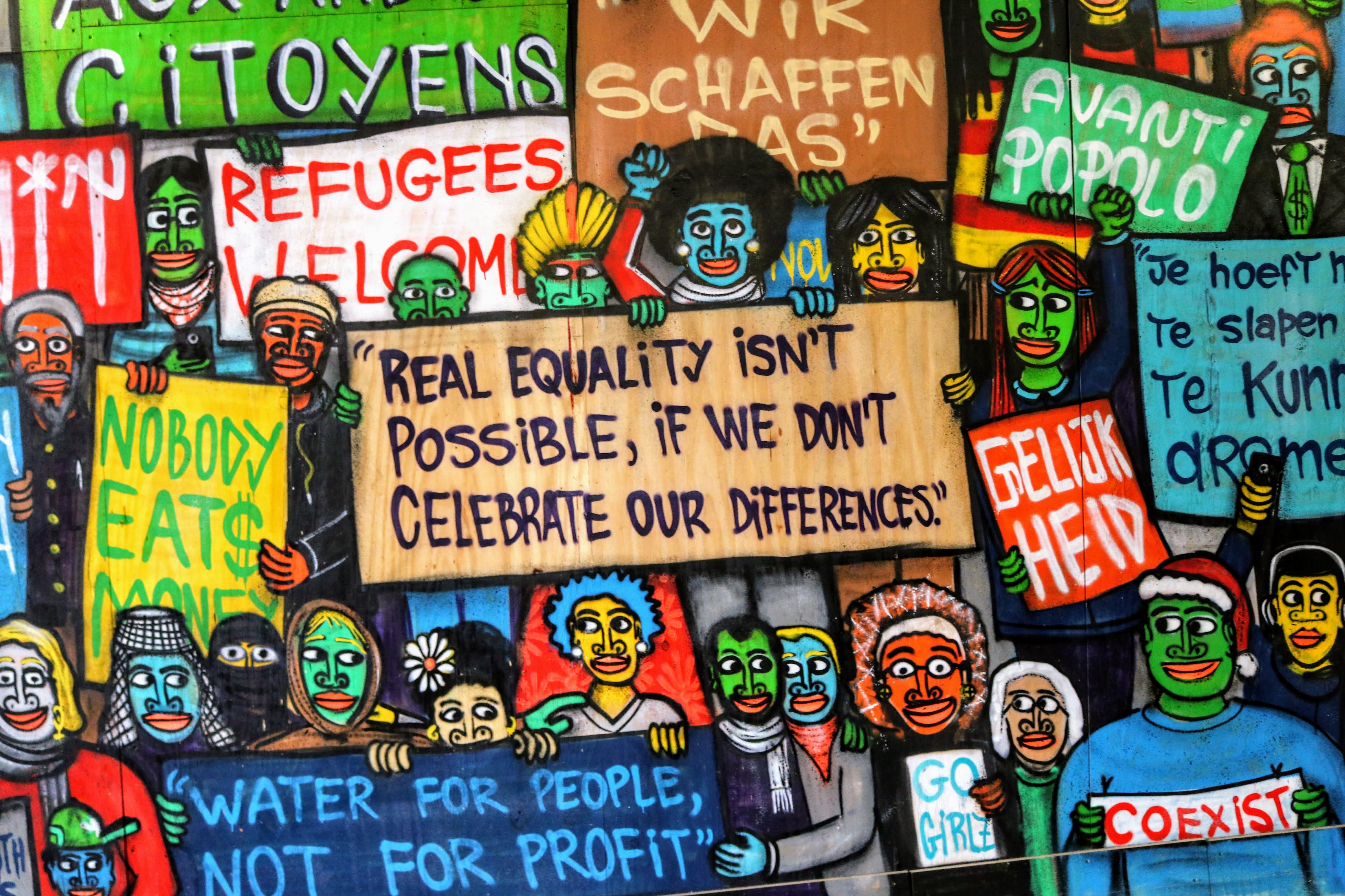
Using Twitter to Track Immigration Sentiment During Early Stages of the COVID-19 Pandemic
Abstract: Large-scale coordinated efforts have been dedicated to understanding the global health and economic implications of the COVID-19 pandemic. Yet, the rapid spread of discrimination and xenophobia against specific populations has largely been neglected. Understanding public attitudes toward migration is essential to counter discrimination against immigrants and promote social cohesion. Traditional data sources to monitor public opinion are often limited, notably due to slow collection and release activities. New forms of data, particularly from social media, can help overcome these limitations. While some bias exists, social media data are produced at an unprecedented temporal frequency, geographical granularity, are collected globally and accessible in real-time. Drawing on a data set of 30.39 million tweets and natural language processing, this article aims to measure shifts in public sentiment opinion about migration during early stages of the COVID-19 pandemic in Germany, Italy, Spain, the United Kingdom, and the United States. Results show an increase of migration-related Tweets along with COVID-19 cases during national lockdowns in all five countries. Yet, we found no evidence of a significant increase in anti-immigration sentiment, as rises in the volume of negative messages are offset by comparable increases in positive messages. Additionally, we presented evidence of growing social polarization concerning migration, showing high concentrations of strongly positive and strongly negative sentiments.
Twitter. Maximising Research Impact Potential
Abstract: No abstract available.
Big Data. Opportunities and Challenges
Abstract: Technological advances have enabled the emerge of ‘Big Data’through the production, processing, analysis and storage of large volumes of digital data. Data that could not previously be stored or used to be captured using analog devices can now be digitally recorded. This chapter identifies and discusses the existing and future challenges and opportunities of Big Data for human geography. Big Data offer high geographic and temporal granularity, extensive coverage and instant information to transform our understanding of human interactions and our social world. At the same time, Big Data present major epistemological, methodological and ethical challenges which need to be addressed to realise these opportunities. I identify the key challenges and actions for the future of human geography emerging from the use of Big Data.
Using Machine Learning and Twitter Data to Profile Attitudes Towards Immigration
Abstract: Immigration is a key ingredient for social cohesion and economic development. Yet, it is often portrayed as a major threat to national identity, values, economic stability and security, resulting in acts of intolerance, discrimination, racism, xenophobia and violent extremism. Understanding how misperceptions towards immigration are formed and shaped is key to address combat mis-representations of immigrants. Typically attitudes towards immigration are studied based on qualitative and nationally representative surveys but they offer low population coverage, coarse geographical resolution and slow data collection. Social media offers dynamic and open space to better understand experiences and public opinion about immigration. While some bias exists, social media data are produced at unprecedented temporal frequency, geographical granularity and is accessible in real time. This paper aims to measure and better understand attitudes towards immigration in Chile using Twitter data. Key findings indicate that negative attitudes emerge from a reduced number of users, and are more commonly manifested and intensify during negative immigrant news reflecting arguments of job competition and stricter immigration regulation. Positive attitudes are expressed by a more diffused number of users and are predominantly express to manifest support during specific events reflecting supportive arguments for immigrants’ human and civil rights.
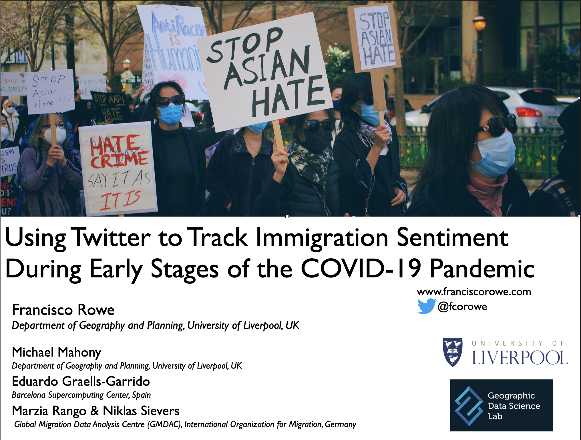
Using Twitter to Track Immigration Sentiment During Early Stages of the COVID-19 Pandemic
Abstract: In 2020, countries around the world started facing unprecedented challenges of understanding and tackling the spread and impacts of COVID-19. Amid vital efforts to understand the public health and economic of the pandemic, the rapid spread of discrimination and xenophobia against specific population groups, especially migrants and individuals of Asian descent, has largely been neglected. Understanding public attitudes towards migration is essential to counter discrimination against immigrants and promote social cohesion. Traditional data sources typically used to monitor public opinion— ethnographies, interviews, or surveys - usually rely on small samples, but they are slow to collect, take time to process and become available particularly in a pandemic setting. New forms of data, particularly from social media, can help overcome these limitations. While some bias exists, social media data are produced at an unprecedented temporal frequency, geographical granularity, and accessible in real-time. Drawing on Twitter data, this study seeks to measure shifts in public sentiment opinion about migration in the pre- and pandemic periods (December 2019-April 2020) in five countries (UK, US, Spain, Italy, Germany), drawing on a dataset of 34.92 million Tweets and natural language processing. Results show an increase of immigration-related Tweets along with rising numbers of COVID-19 cases during national lockdowns in all five observed countries; yet, we found no evidence of a significant increase in anti-immigration sentiment in our sample as rises in the volume of negative messages are offset by comparable increases in positive messages. Our results also indicate that the debate around migration is highly polarized and that a distinctive set of topics tends to dominate this debate in the five countries in our sample.
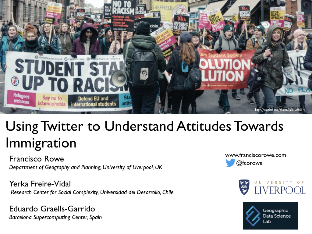
Using Twitter and Machine Learning to Understand Attitudes Towards Immigration
Abstract: Immigration is a key ingredient for social cohesion and economic development. Yet, it is often portrayed as a major threat to national identity, values, economic stability and security, resulting in acts of intolerance, discrimination, racism, xenophobia and violent extremism. Understanding how misperceptions towards immigration are formed and shaped is key to address combat mis-representations of immigrants. Typically attitudes towards immigration are studied based on qualitative and nationally representative surveys but they offer low population coverage, coarse geographical resolution and slow data collection. Social media offers dynamic and open space to better understand experiences and public opinion about immigration. While some bias exists, social media data are produced at unprecedented temporal frequency, geographical granularity and is accessible in real time. This paper aims to measure and better understand attitudes towards immigration in Chile using Twitter data. Key findings indicate that negative attitudes emerge from a reduced number of users, and are more commonly manifested and intensify during negative immigrant news reflecting arguments of job competition and stricter immigration regulation. Positive attitudes are expressed by a more diffused number of users and are predominantly express to manifest support during specific events reflecting supportive arguments for immigrants’ human and civil rights.
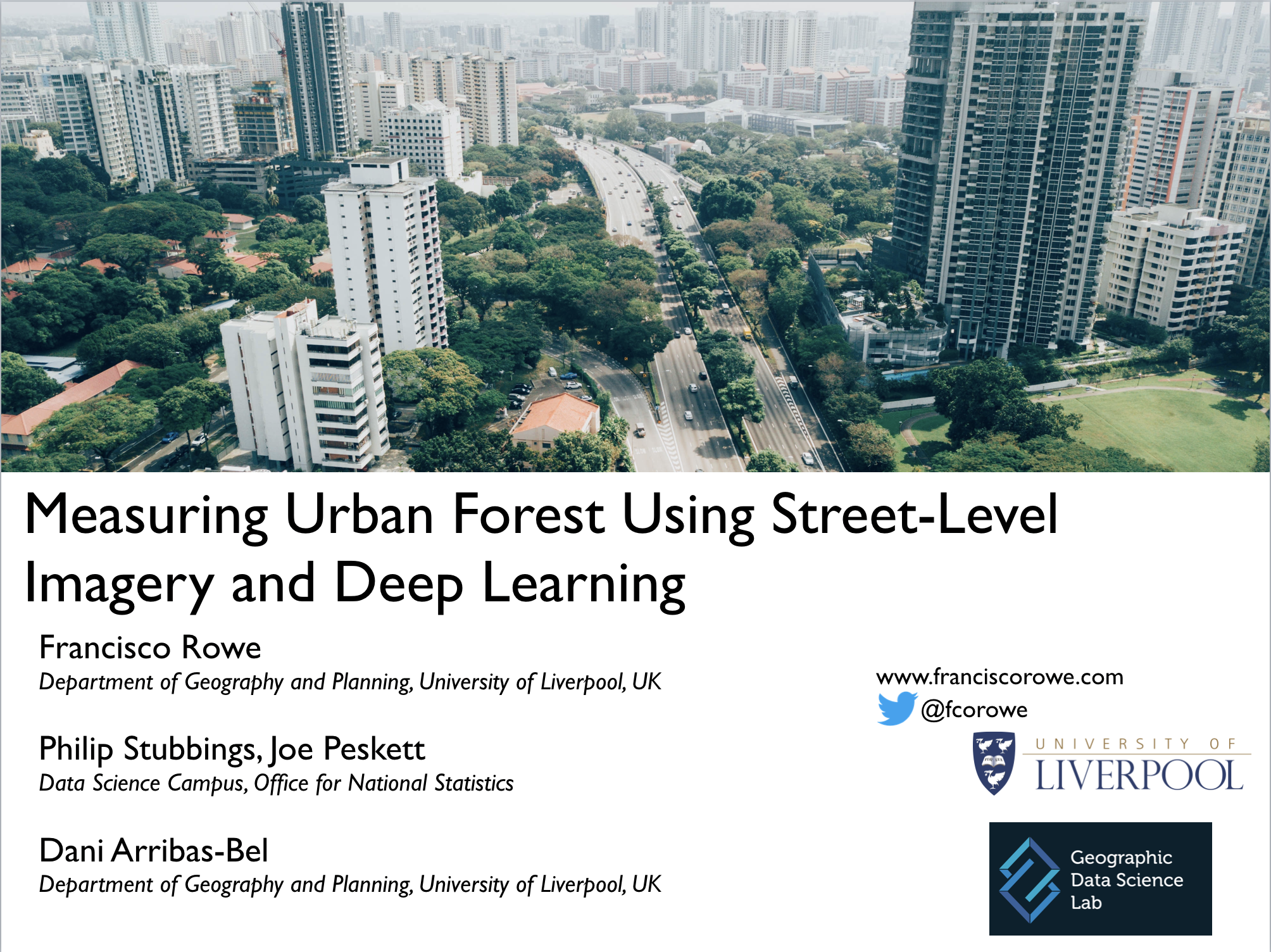
Measuring Urban Forest Using Street-Level Imagery and Deep Learning
Abstract: We develop a method based on computer vision and a hierarchical multilevel model to derive an Urban Street Tree Vegetation Index which aims to quantify the amount of vegetation visible from the point of view of a pedestrian. Our approach unfolds in two steps. First, areas of vegetation are detected within street-level imagery using a state-of-the-art deep neural network model. Second, information is combined from several images to derive an aggregated indicator at the area level using a hierarchical multilevel model. The comparative performance of our proposed approach is demonstrated against a widely used image segmentation technique based on a pre-labelled dataset. The approach is deployed to a real-world scenario for the city of Cardiff, Wales, using Google Street View imagery. Based on more than 200,000 street-level images, an urban tree street-level indicator is derived to measure the spatial distribution of tree cover, accounting for the presence of obstructing objects present in images at the Lower Layer Super Output Area (LSOA) level, corresponding to the most commonly used administrative areas for policy-making in the United Kingdom. The results show a high degree of correspondence between our tree street-level score and aerial tree cover estimates. They also evidence more accurate estimates at a pedestrian perspective from our tree score by more appropriately capturing tree cover in areas with large burial, woodland, formal open and informal open spaces where shallow trees are abundant, in high density residential areas with backyard trees, and along street networks with high density of high trees. The proposed approach is scalable and automatable. It can be applied to cities across the world and provides robust estimates of urban trees to advance our understanding of the link between mental health, well-being, green space and air pollution.
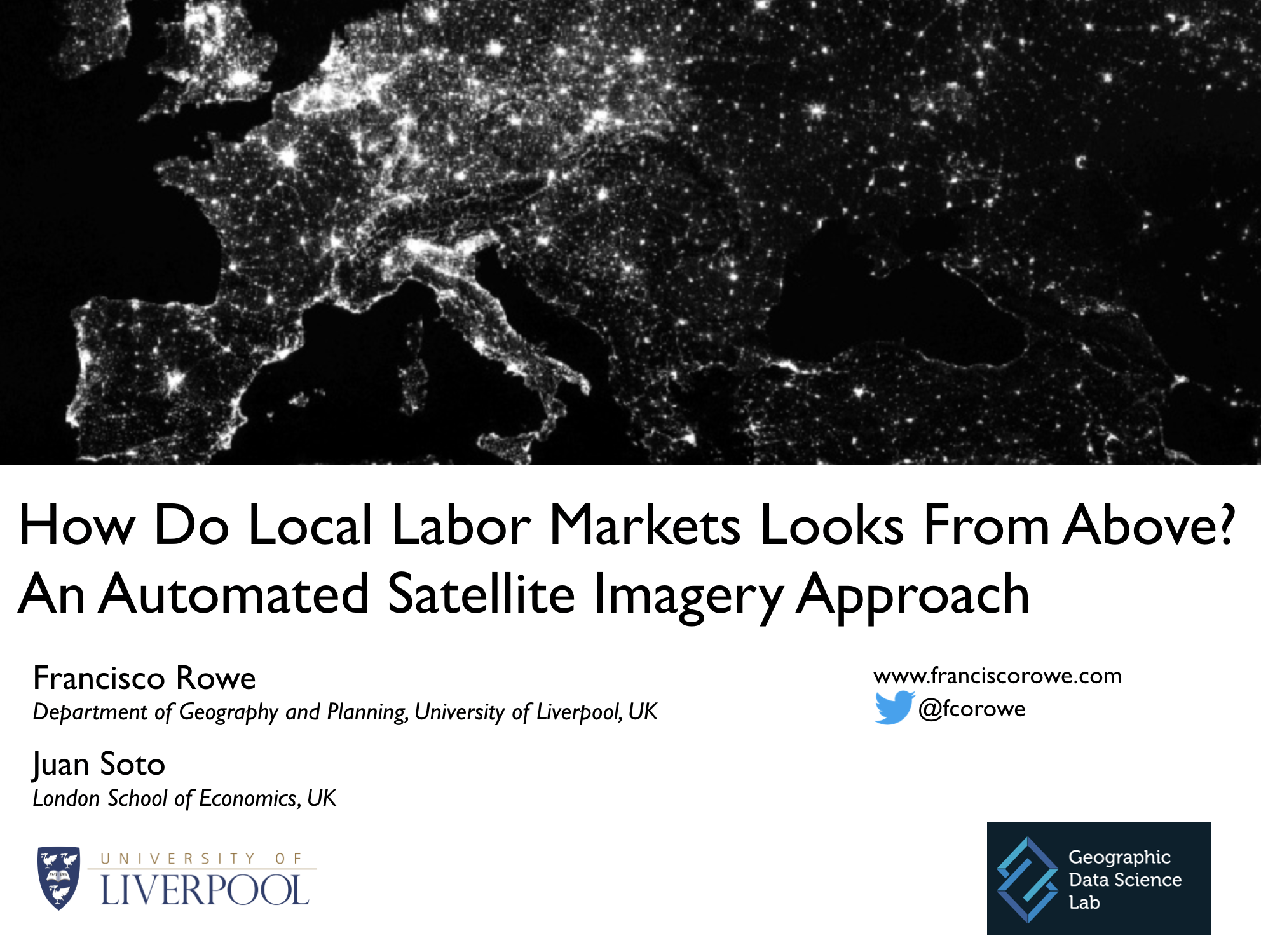
How Do Local Labor Markets Looks From Above? An Automated Satellite Imagery Approach
Abstract: Administrative areas do not accurately reflect the contemporary spatial manifestation of labour market linkages. Local labour market areas (LLMAs) have been shown to provide a better representation of geographic labour market activity. Traditionally LLMAs are delineated based on commuting flow data. However, commuting data are expensive to collect, are sporadically collected in developed countries and rarely available in less developed countries. Yet, recent advances in computing capacity and increased availability of satellite imagery offers a unique opportunity to generate LLMAs in poor environment context in a cheap, frequent and automated way. This papers aims to develop an automated satellite-based approach to define LLMAs.
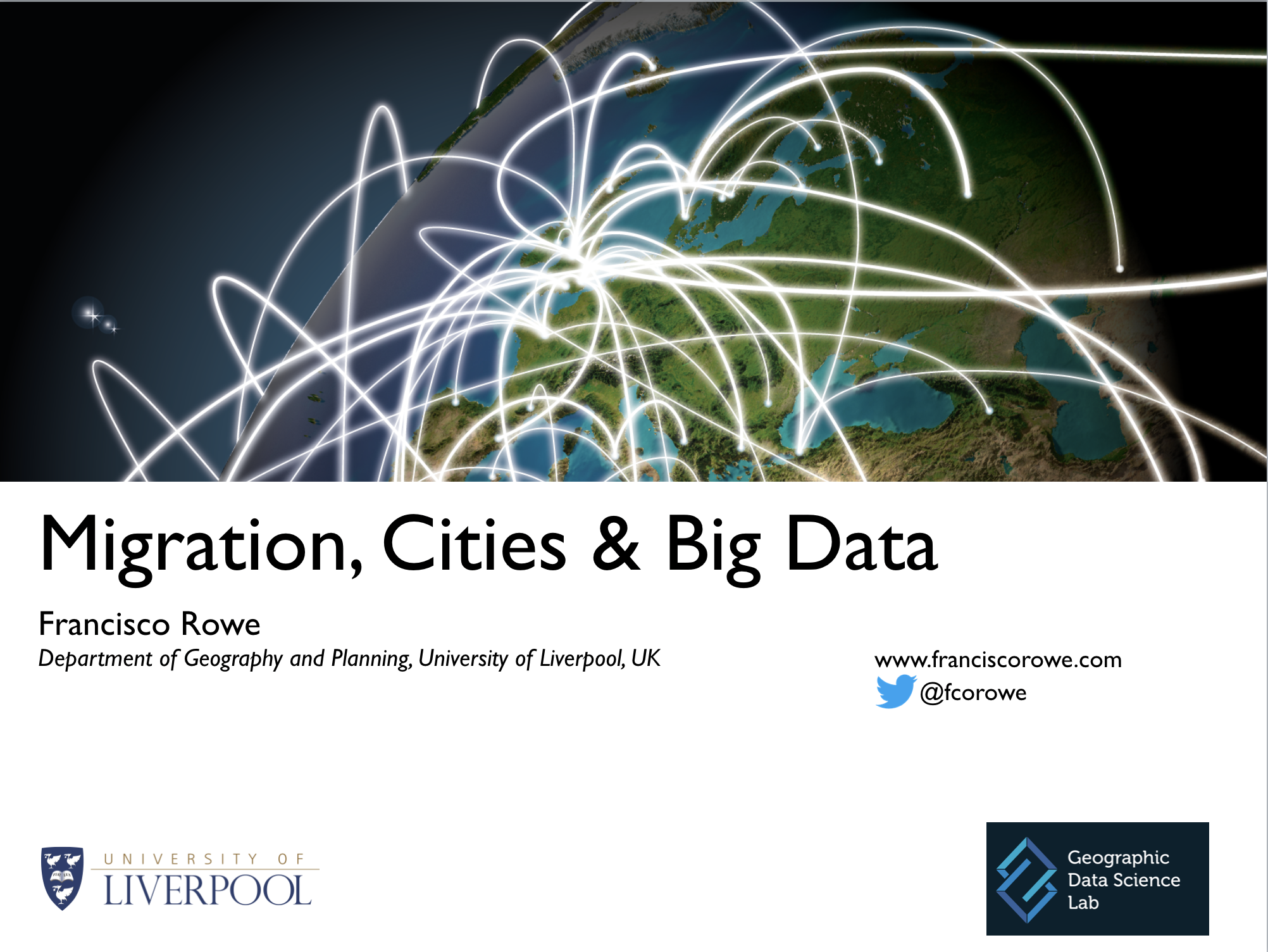
Migration, Cities & Big Data
Abstract: This presentation summarises collaborative work on internal migration in Latin American cities. It also proposes ways how twitter data and machine learning can be used to measure internal migration and an approach to measure the relative importance of global bilateral migration flows.